(13th February 2012 – 14 miles)
The next morning, after chatting to some fellow guests over breakfast, I was in good spirits as I bounced down the hill to the tiny village of Hubberholme, where I re-joined the Dales Way.
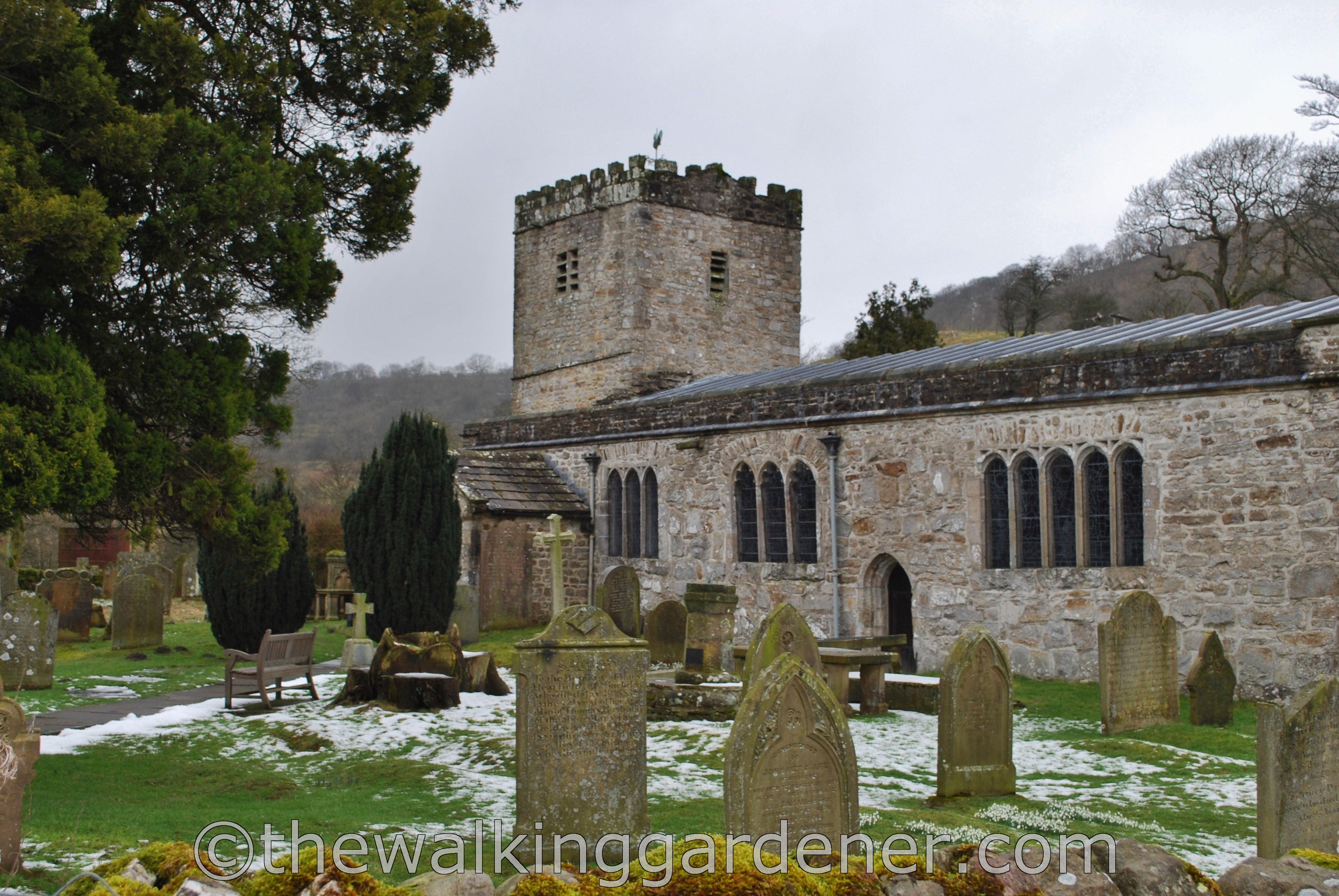
As you might have guessed, the word Hubberholme derives from old Norse. It is named after Hubber the Berserker; a Viking warrior who sounds like someone you wouldn’t want to irritate… nor tease. JB Priestly’s ashes were scattered in the churchyard. He loved this village and called it “the smallest, pleasantest place in the world.”
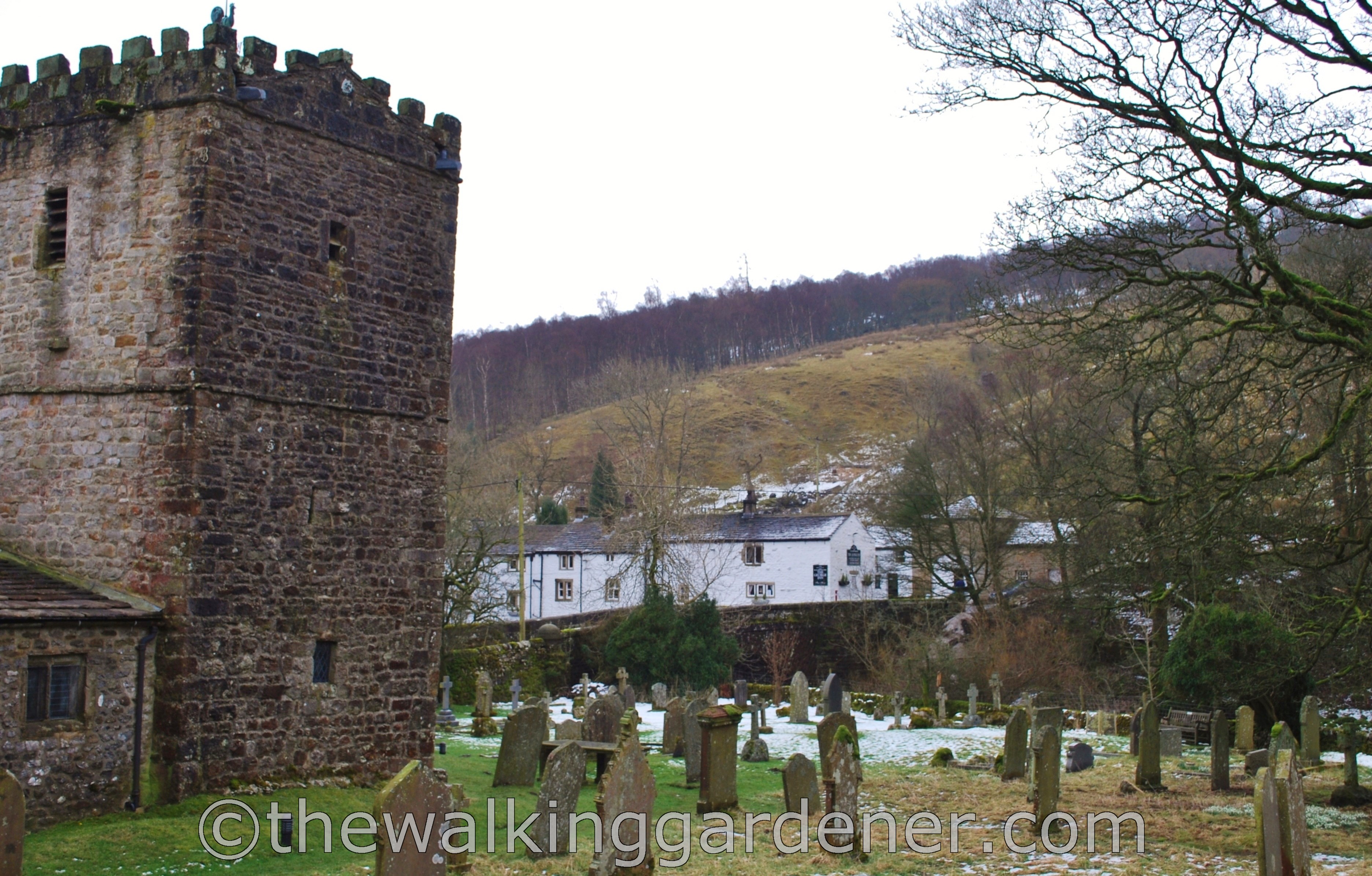
When planning my accommodation for the Dales Way, I’d initially wanted to stay in Hubberholme at ‘The George Inn.’ But this former C17th farmhouse (above centre), had poor reviews at the time – hence my decision to divert up to Cray. But it is now under new management, has great reviews and serves pie. I’d stay there like a shot now. I like pie.

After leaving Hubberholme, I strolled along the banks of a youthful, partially frozen Wharfe. (I told you it was cold.) There were dippers galore. Before I walked the Dales Way, I had seen maybe three dippers in my lifetime. On this one day alone, I saw dozens.
I was walking up the robustly named Langstrothdale – so good they named it twice: it means long valley valley – past the equally well-named hamlet of Yockenthwaite. I was increasingly fascinated by the place-names I passed through. In 1241 Yockenthwaite was known as Yoghannesthweit. Thwaite means clearing and Yoghannes might derive from the old Celtic name, Eogan. And so, Yockenthwaite probably means Eogan’s Clearing. Now you know. Probably.
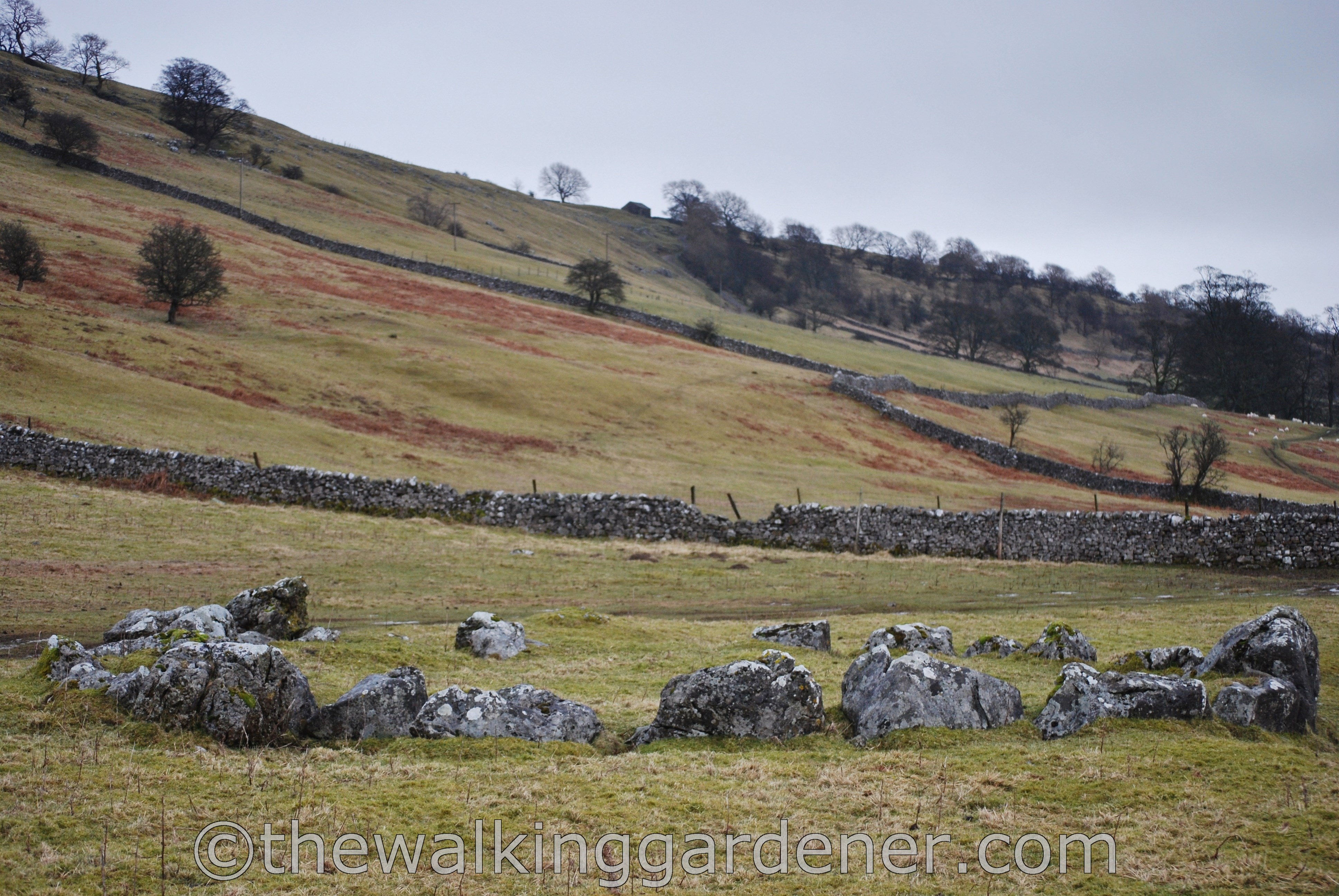
A little further on is Yockenthwaite Stone Circle, known locally as ‘Giant’s Grave.’ The locals are right: this isn’t a circle like Stonehenge. It was once an earth-covered burial mound built for a chieftain (rather than a giant) about 3000 years ago.

This remote valley, high in the Yorkshire Dales, must have been a tough home for the folk who farmed or raised flocks on its poor soil. And I suppose it still is – however beautiful it may be.
At Beckermonds (beckur mund = stream mouth), I bade a teary farewell to the River Wharfe which I’d followed since Ilkley. And a couple of miles further on, I began the trek across Oughtershaw Moss.
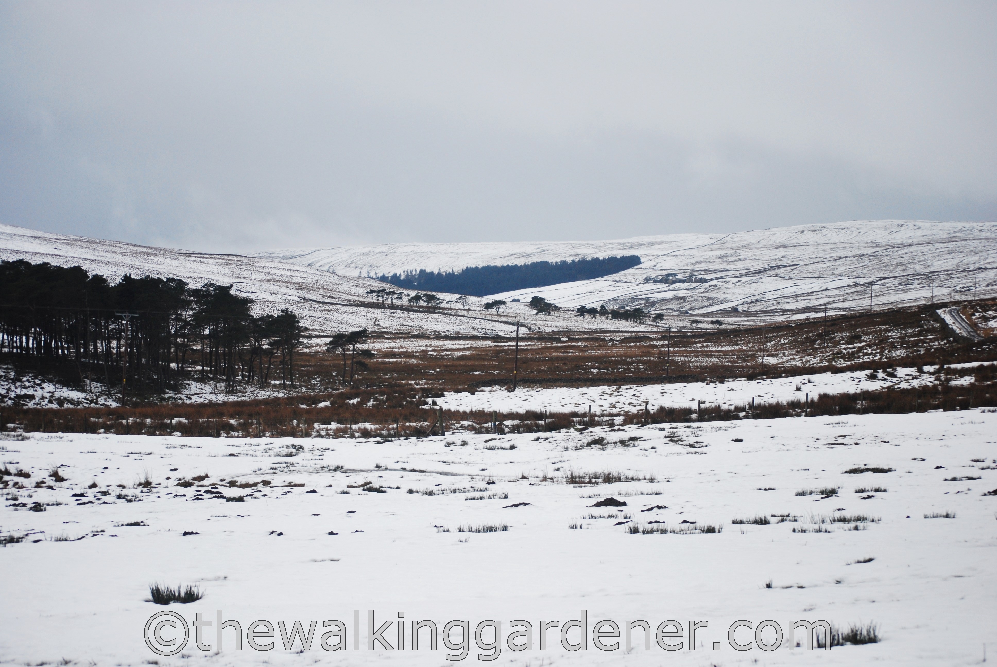
My path would clip the right-hand side of that central conifer plantation, climb up to the horizon and join briefly with the Pennine Way.
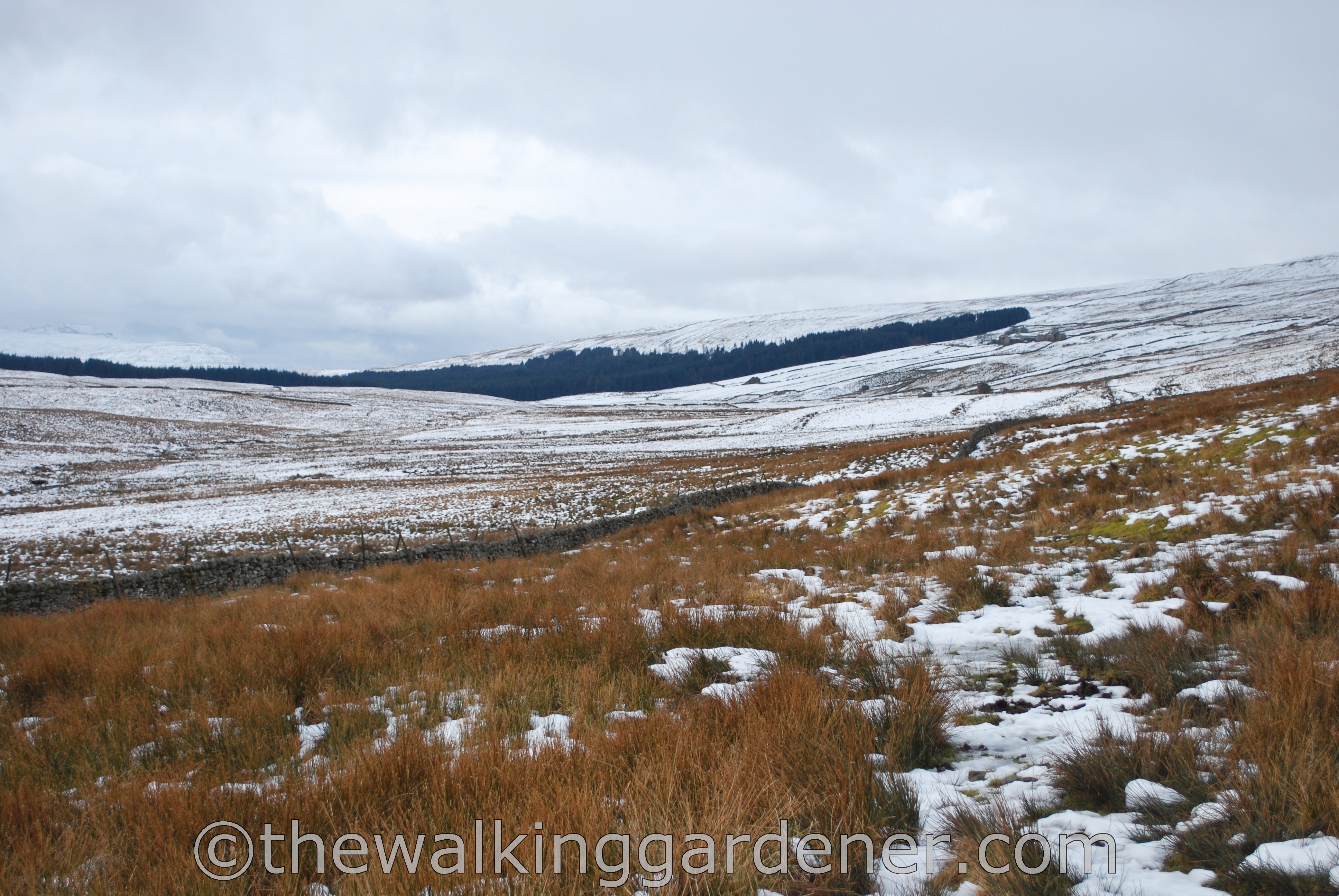
Though it doesn’t look like it, this is the watershed on the path: ahead the bog would drain to the Irish Sea.
Behind me, the trills, pools and becks would feed into the infant Wharfe, which in turn flows into the River Ouse, then the Humber estuary and out to the North Sea.

Sitting on the horizon and supporting a great wodge of blue-grey cloud, sat the dramatic shape of Pen-y-Ghent.
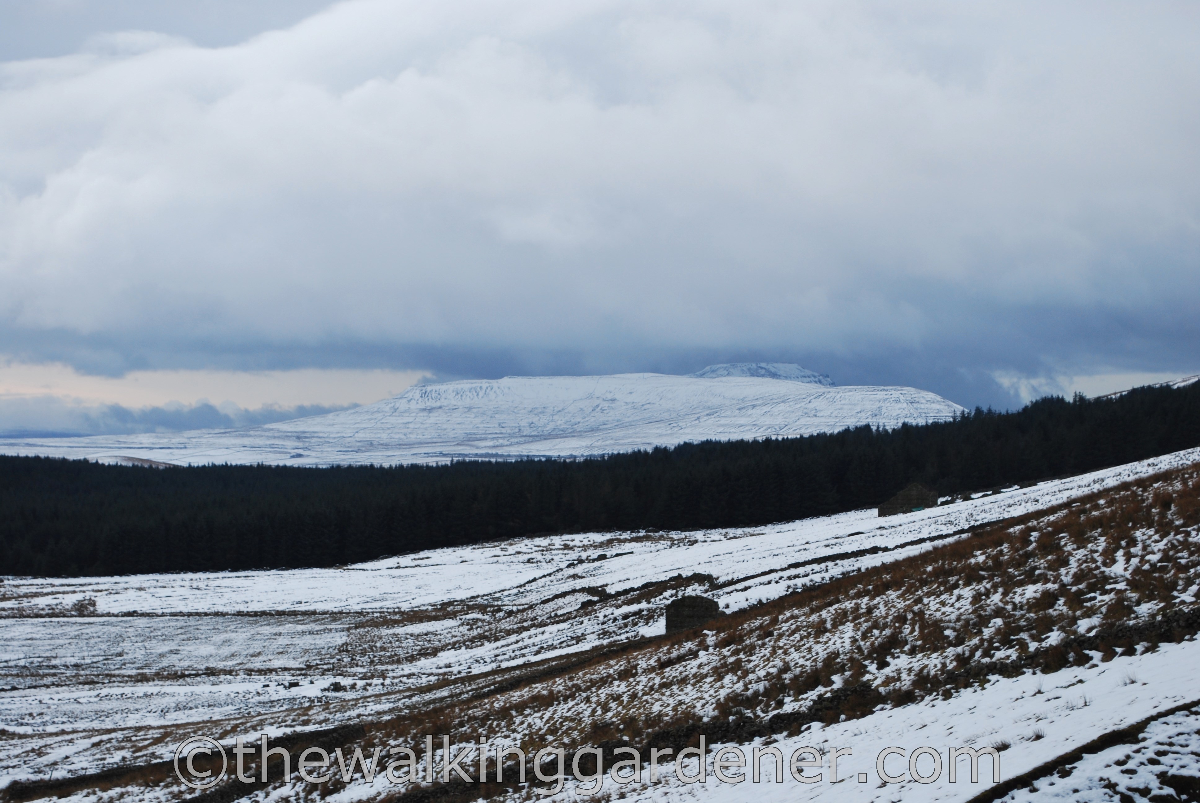
With his companions, Whernside and Ingleborough, he forms the Yorkshire Three Peaks: long considered the highest mountains in England.

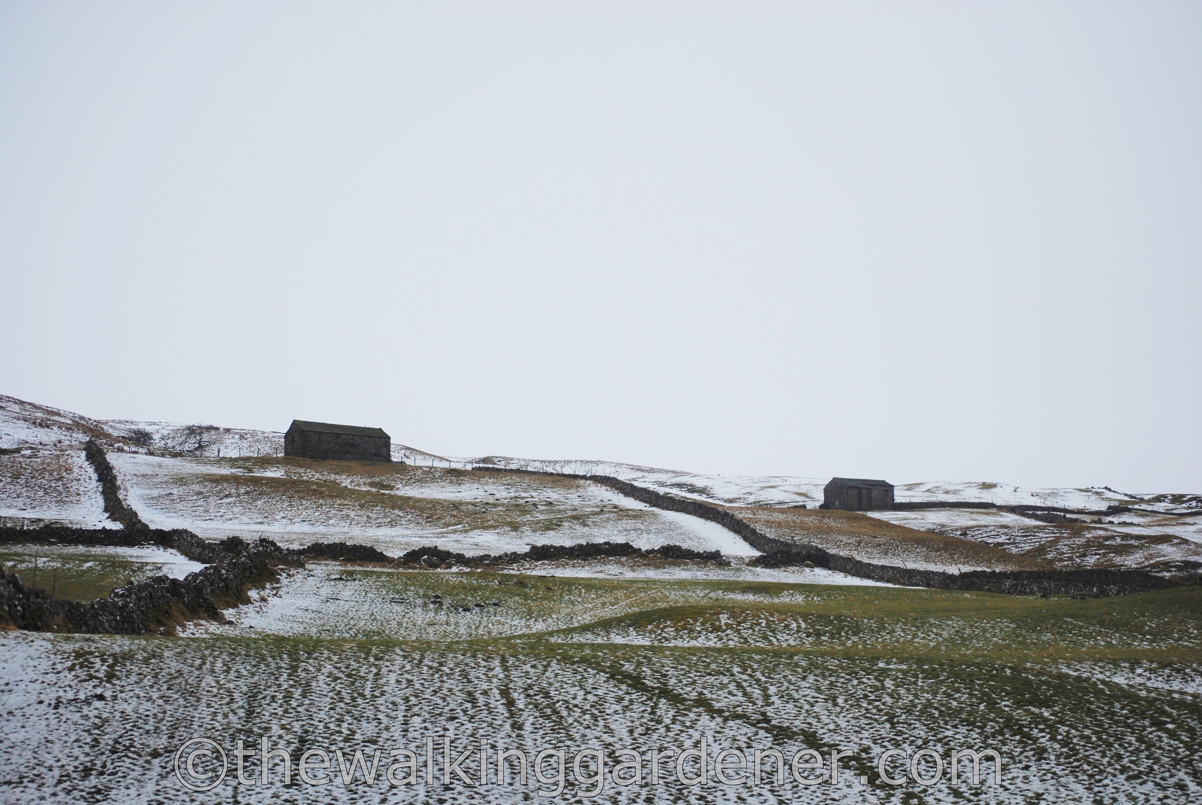
Cam Houses, which the path passes through, surely has to be the remotest farm in England? Two hundred years ago there was a small community here of thirteen houses.
")
")
")
")
")
Now there is, I believe, just one farm. I saw no-one as I walked through the quiet, deserted farmyard.

It is a magnificent, removed situation – but the farm wants a lick of paint.
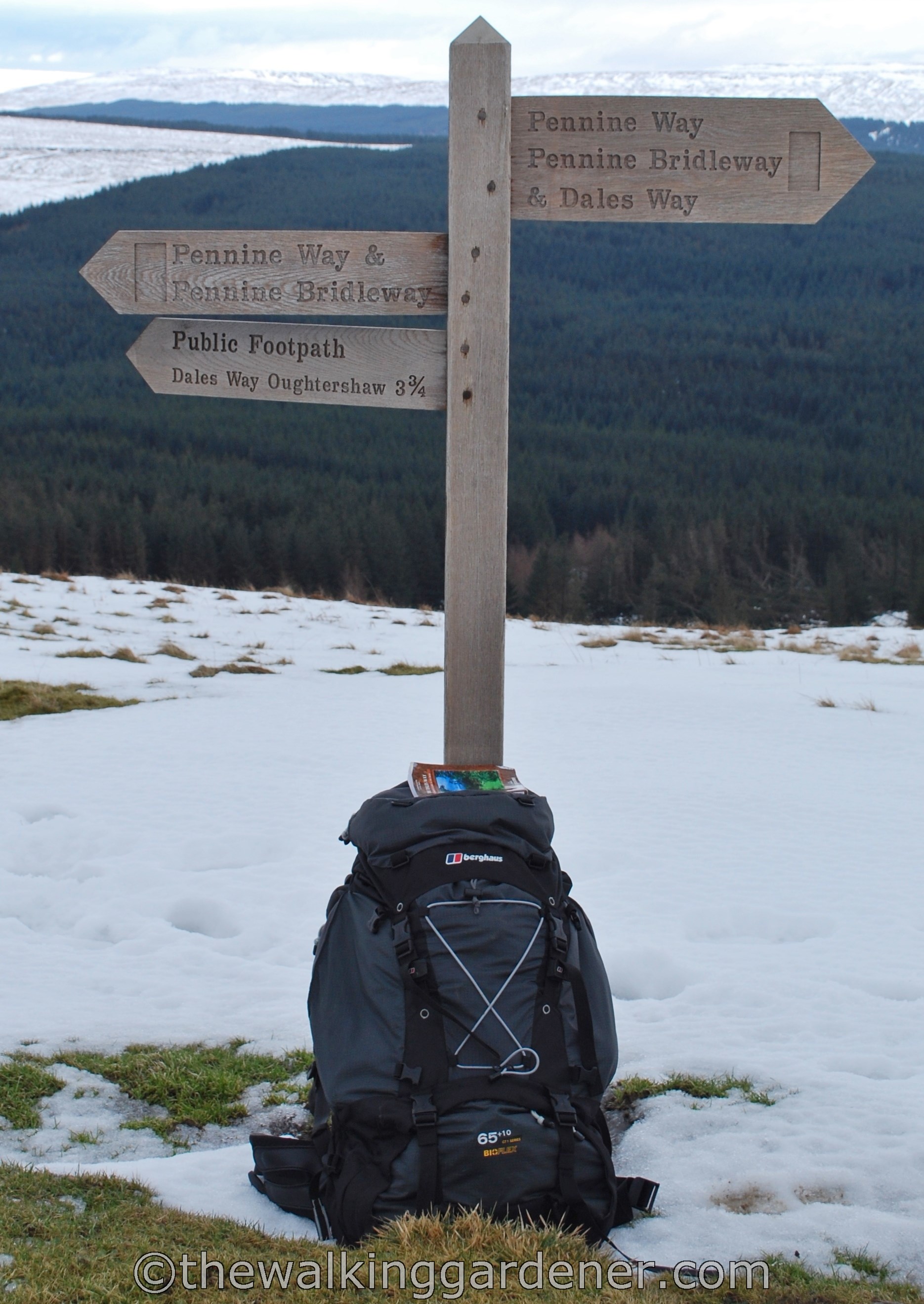
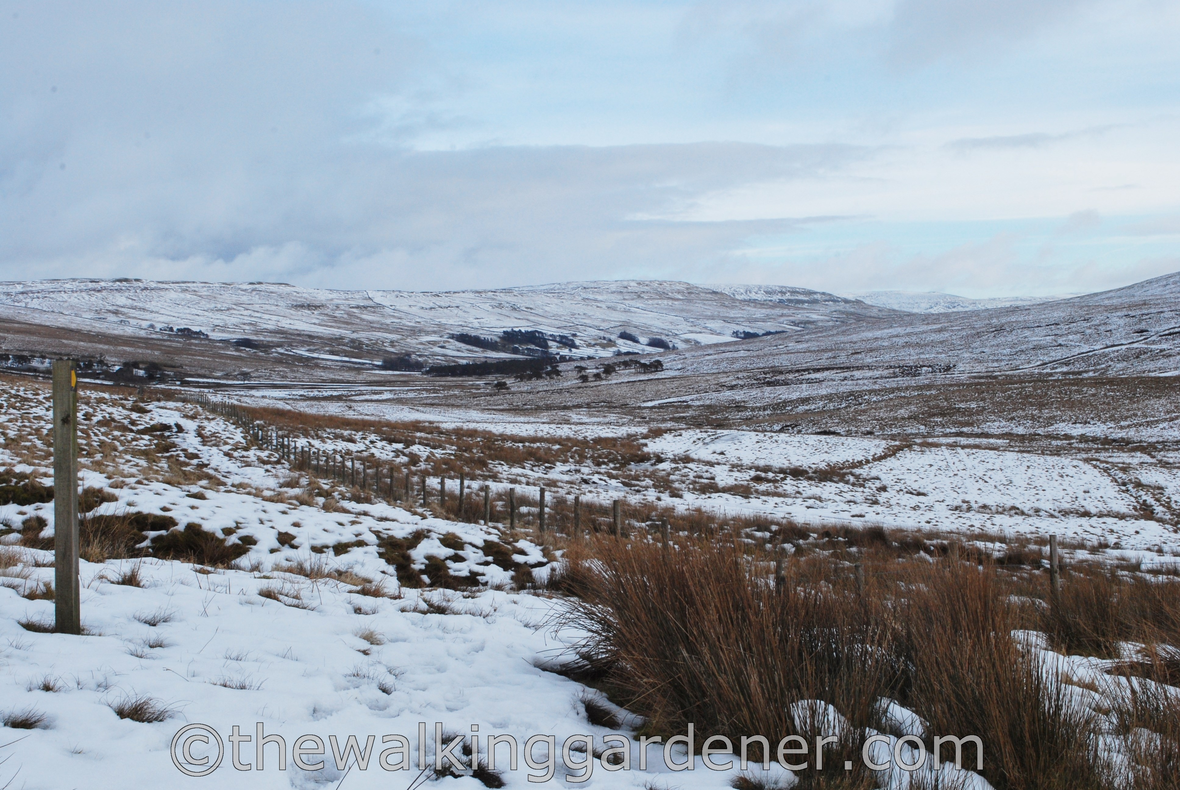
Beyond the farm, the path continues to climb to Cam High Road, which at 1705 feet (520 metres) is the highest point on the Dales Way. Here it joins with the Pennine Way for a mile or so.
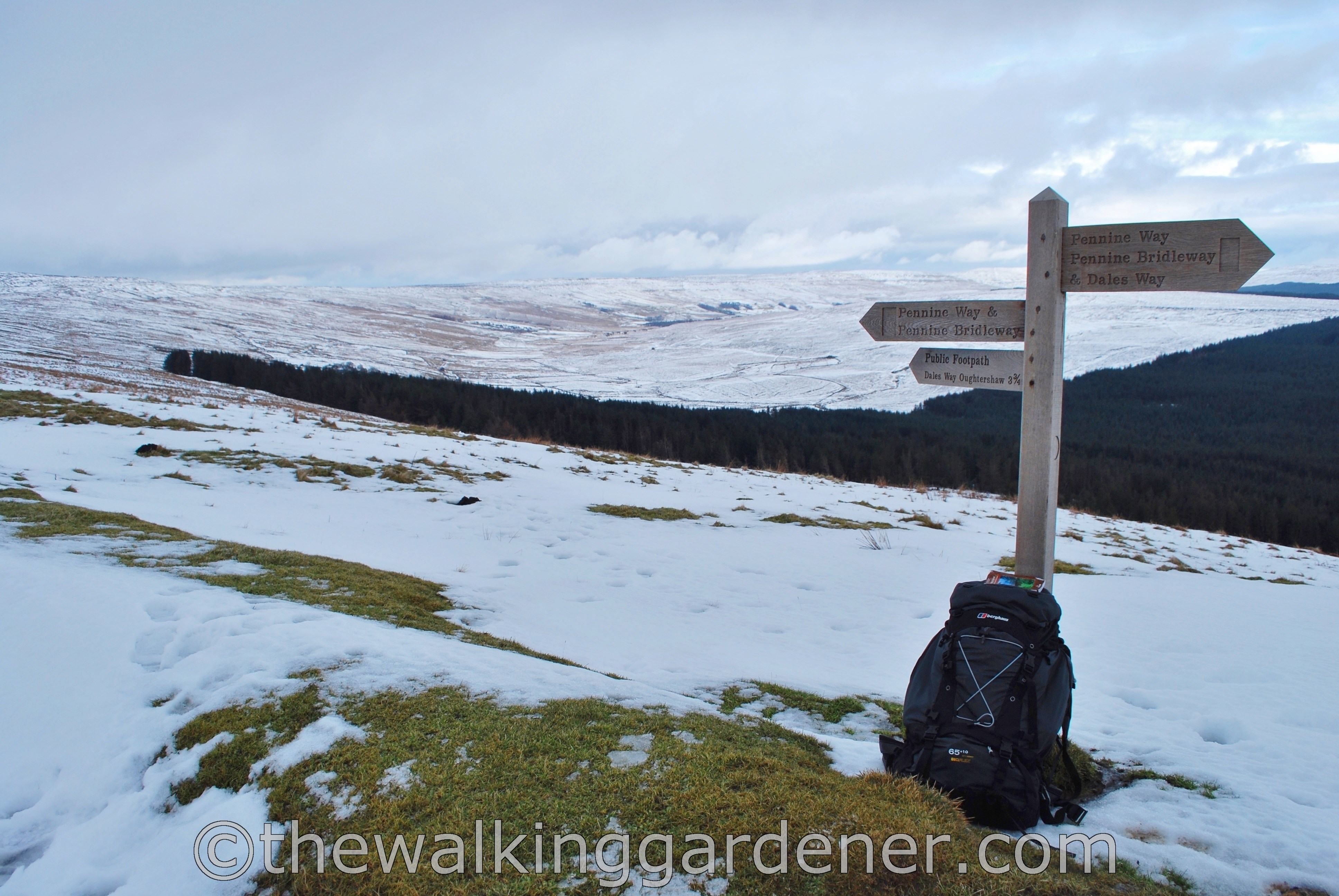
Glancing back gives an excellent view all the way back down Oughtershaw and the way I had come.
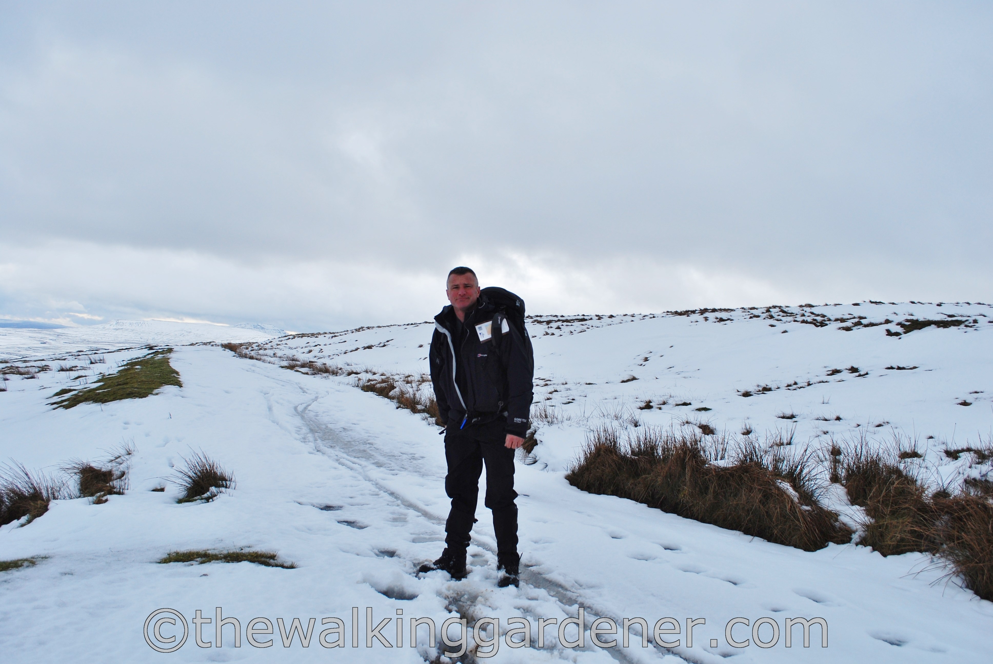
Though I had seen little evidence of anyone walking the Dales Way (I didn’t meet any distance-walkers during my six days), I thought that the Pennine Way might be busier. Even in February. But no, there was just me.
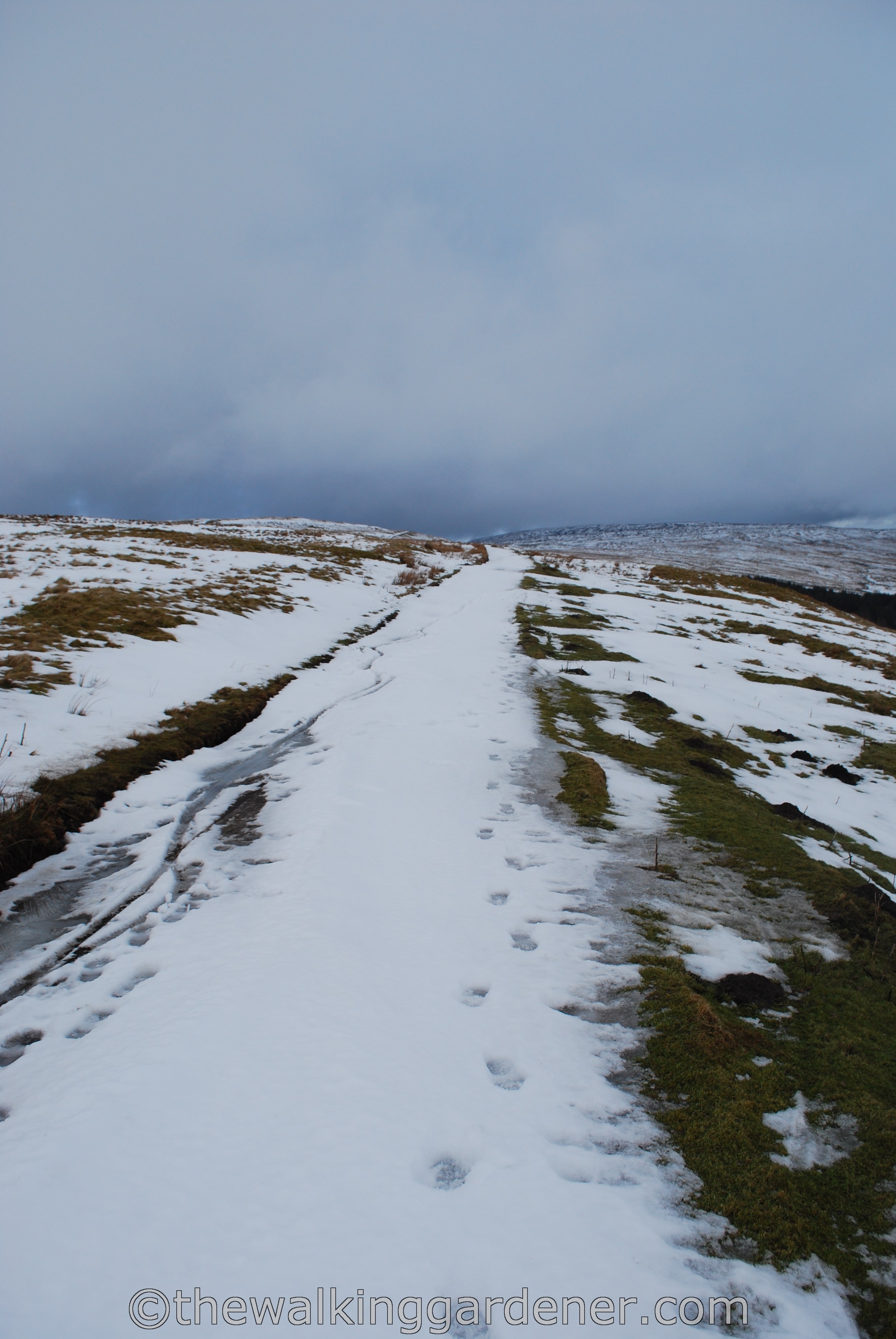
Despite the snow being a few days old there were hardly any prints: my own, another set or two and a mountain bike.
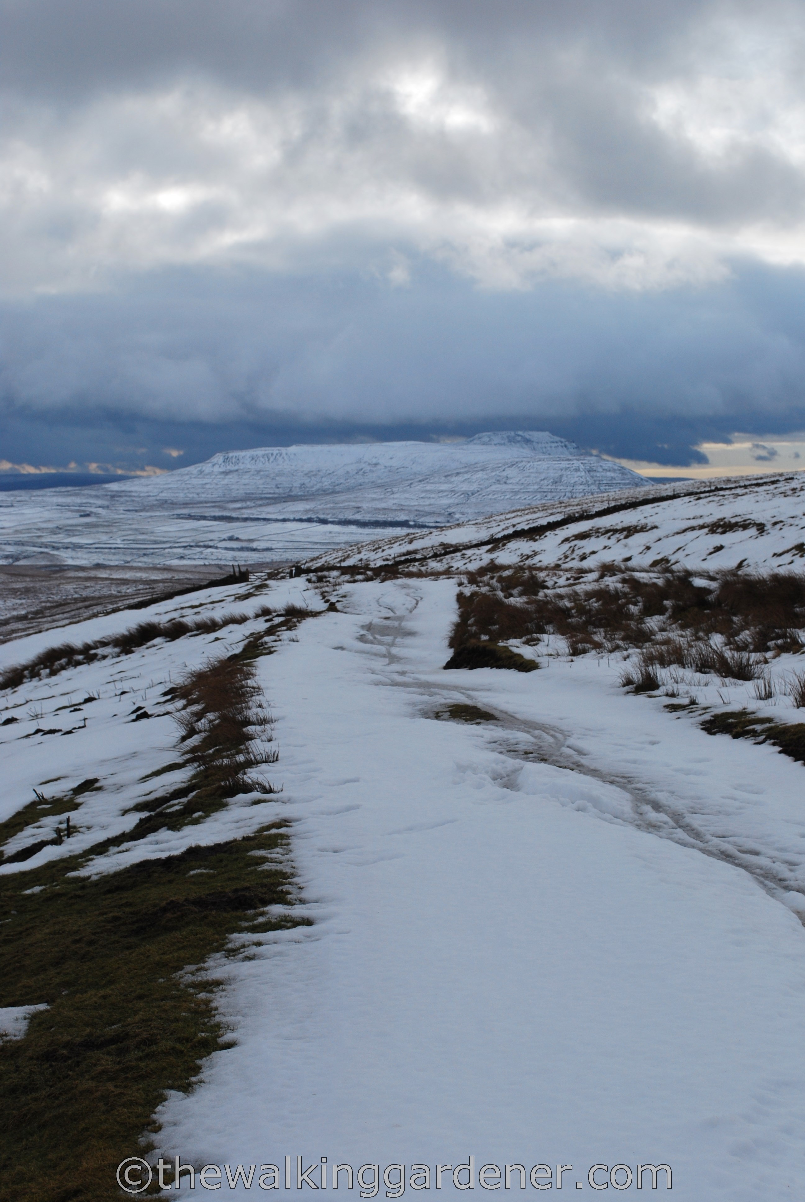
From this high point, the DW ran ahead, down a slope with Pen-y-Ghent lying directly ahead.
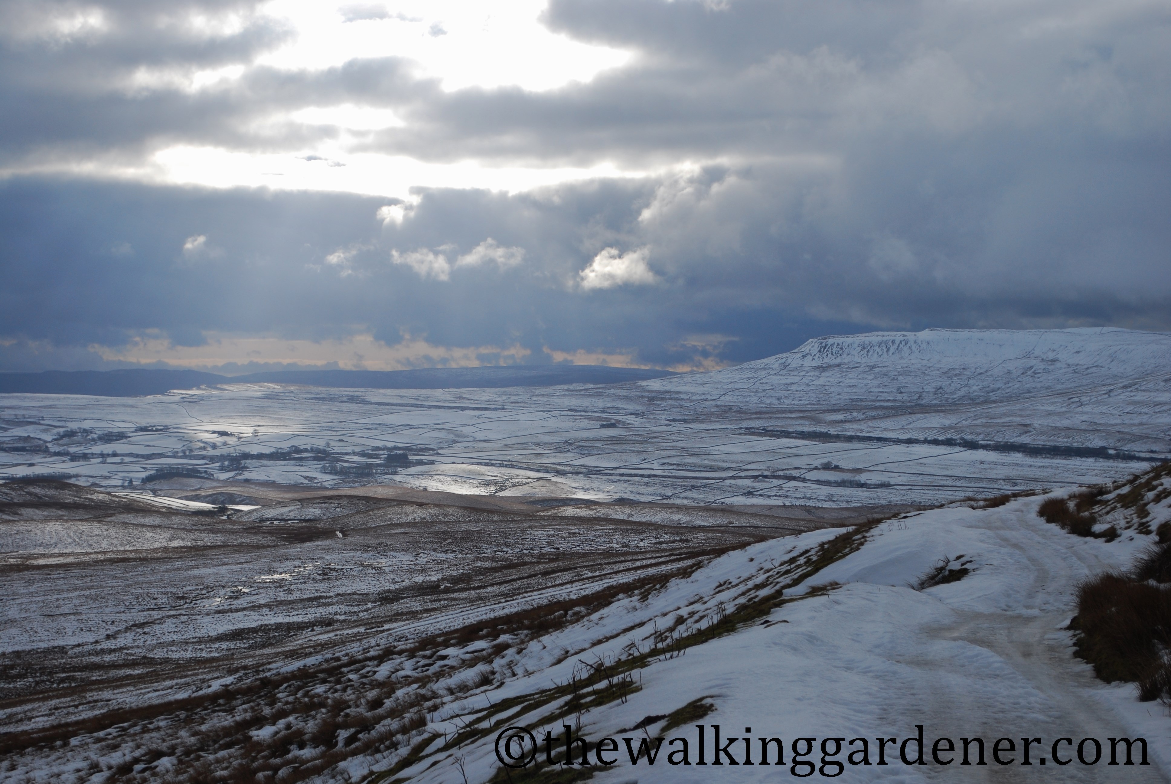
And what a breathtaking view. Weak, watery sunshine lit the serene if bleak landscape
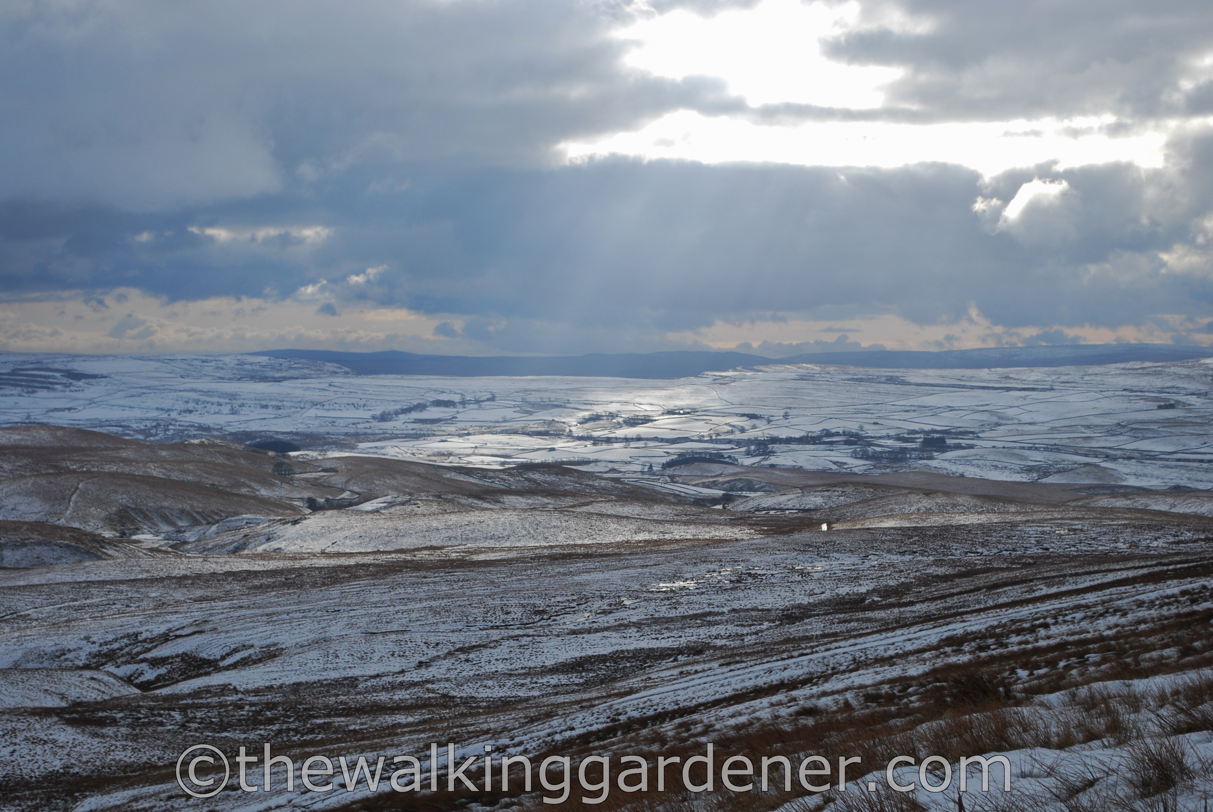
and once again the sheer beauty of my surroundings pulled me to a halt. Solo walkers appreciate their surroundings more than those walking in pairs or groups, I think. Certainly, I find that I am more likely to simply stop and stare if I’m alone; much more so than if I’m chatting away to a companion. And though the weather was hardly soft and gentle during my six days on the Dales Way, it lent a stunning harshness to the landscape which was only magnified, made more special, by the lack of other walkers or cyclists. And these are two reasons why I like solo walking.
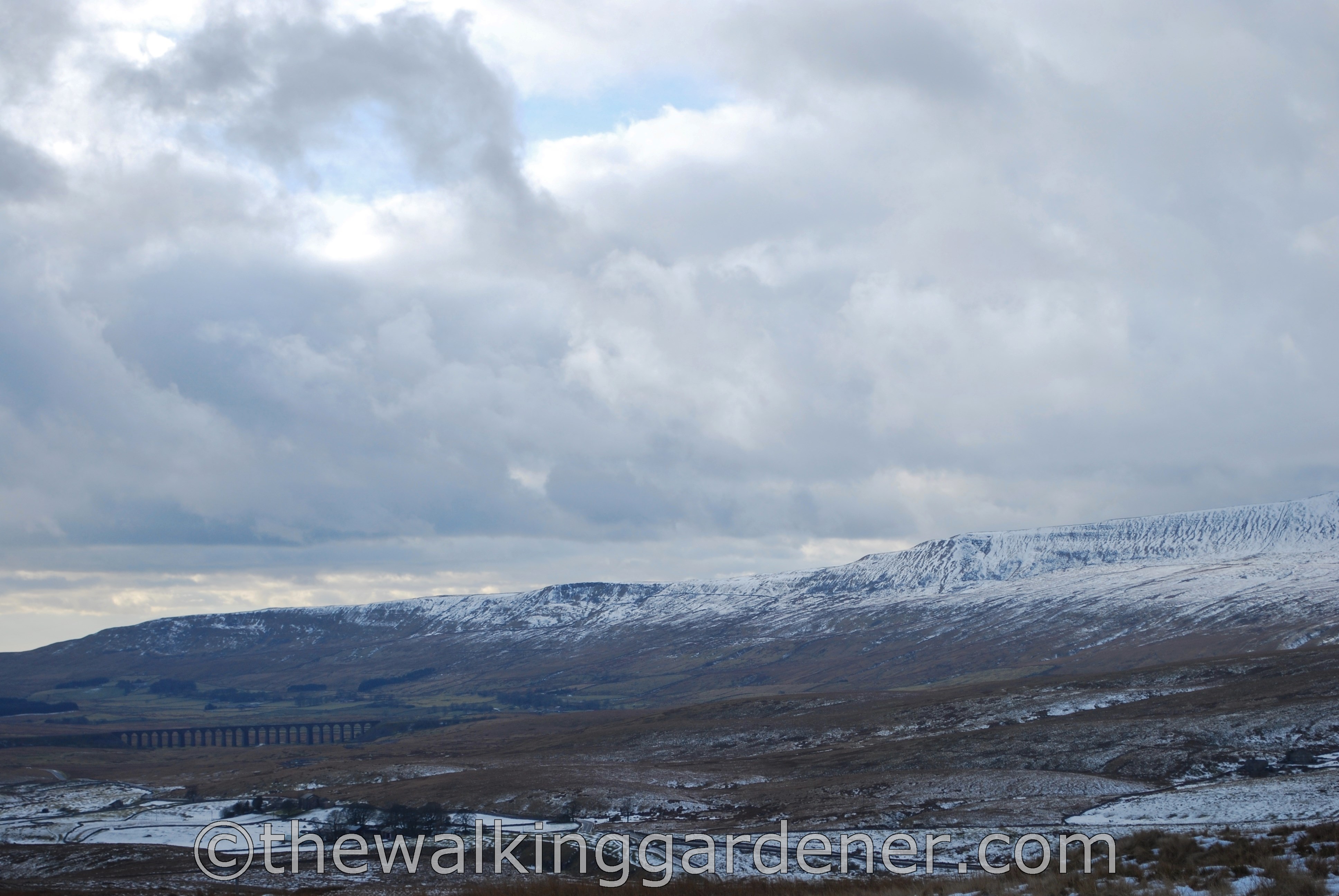
A little further on, I caught my first glimpse of the Ribblehead Viaduct
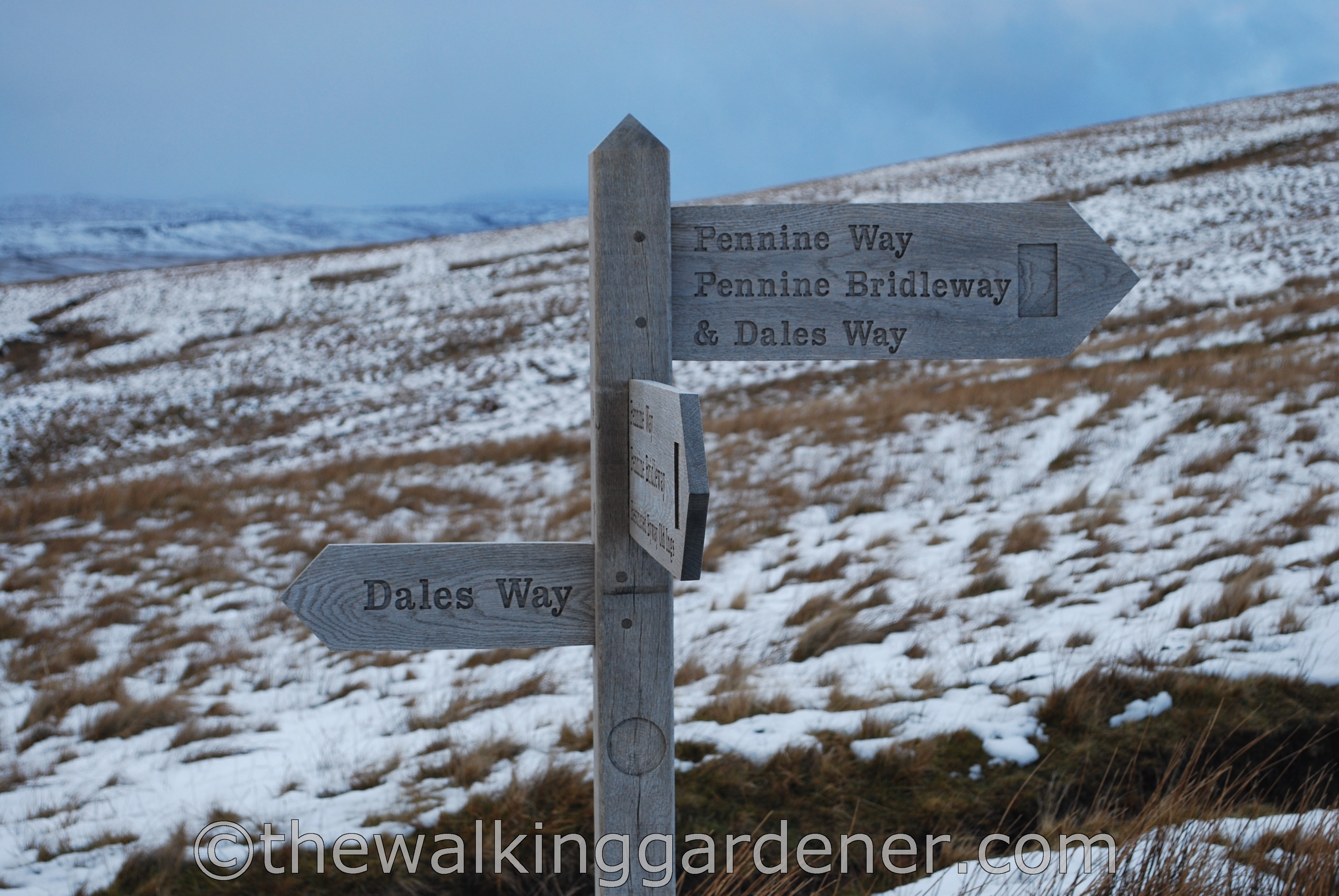
and the Dales Way and Pennine Way diverged. This is the second bit of the latter I had walked. The first was an even shorter length on the Coast to Coast and I would follow a stretch too on the Hadrian’s Wall Path. I’m still not sure whether I want to walk the whole of the Pennine Way … but as I’ve bought a guide-book, I suspect I will. It has assumed an almost mythological status in my head and I want to see how it measures up in reality. One day.

I was almost finished for the day. I crossed the footbridge over icy Gayle Beck (I told you it was cold)

and left the official route once more to reach my B&B. I had booked into The Station Inn, Ribblehead about a mile and a half along a busy-ish road with the famous viaduct away to my right.
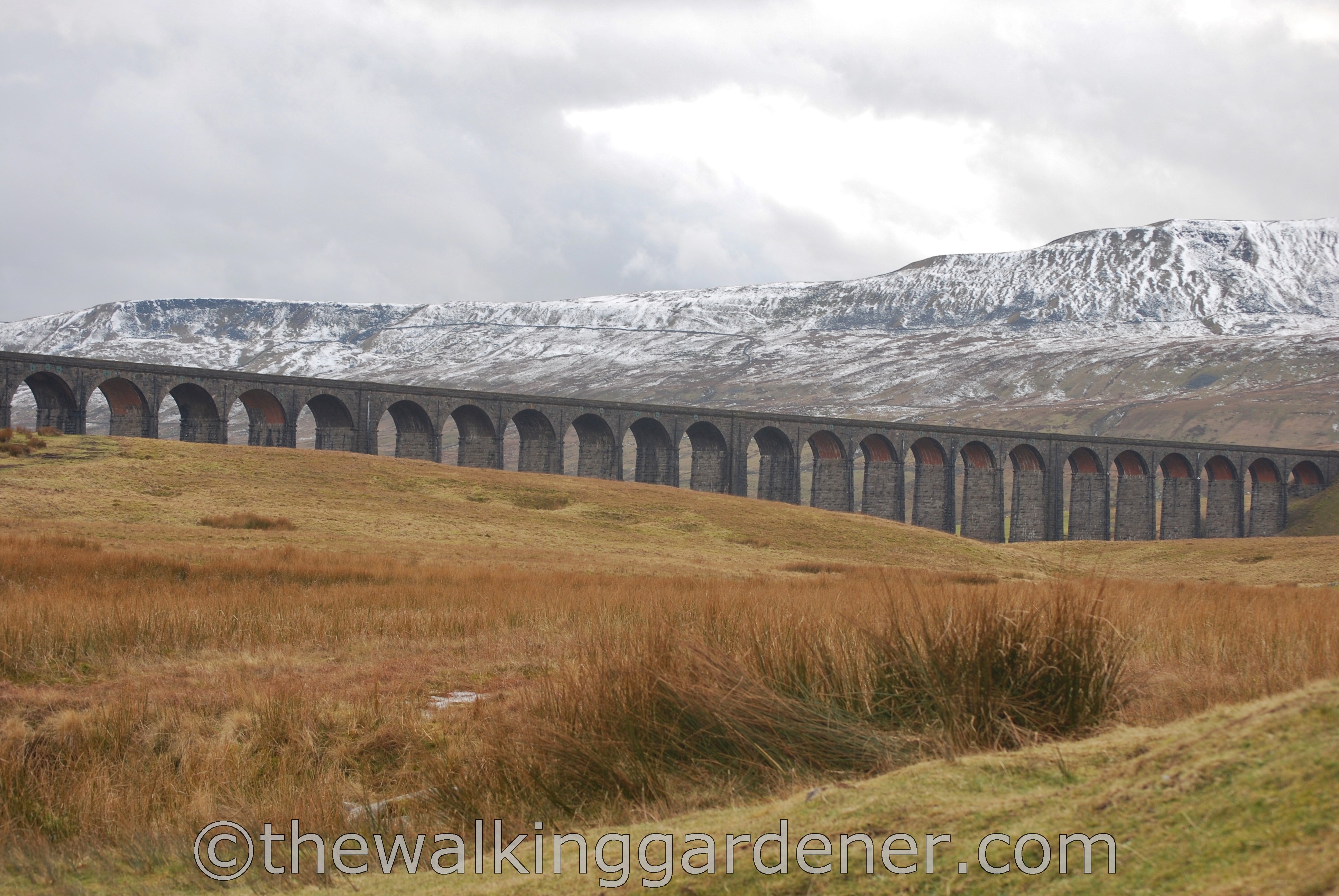
Tomorrow I would walk under the viaduct and then join another Yorkshire valley, Dentdale, for my walk into Sedbergh. But first I had a pressing engagement with a pint of bitter. Or three.

I’m doing it solo at the end of August. My navigation’s not great — how visible is the trail in the Oughtershaw/Cam Fell area and am I likely to get lost if it’s misty?
LikeLike
Hello Alison, I think it’s unlikely you’ll get lost – even in heavy mist. I found that the path wasn’t that clear on this stretch but then it was mostly covered in snow. It may be very blatant in August. And the general direction is pretty obvious. (I always walk with a compass, if only to reassure me that I’m going roughly in the right direction. When walking alone, with no-one to discuss the route with, I find that reassurance invaluable). The path climbs, quite gently off to the right and even if you were to go astray, it wouldn’t matter very much. Once you’re at the farm the path becomes more obvious. I worried a little about this stretch too before I went – but it isn’t very difficult. You’ll have a great time and I hope you enjoy the walk. It’s a good choice. I’m rather jealous. Dave
LikeLike
Yes I always take a compass for general direction. Many thanks!
LikeLike
Those moments with the sun shining through breaks in the clouds — wow. So beautiful.
I’m glad we’re not the only ones who repeat things in place names. One that always irks me here is “Table Mesa” (Table Table).
LikeLike
Hi Stacy, yes it was very beautiful and no-one else around to see it. We’re back to Bear Bear with double naming aren’t we? D
LikeLike
Wonderful!
LikeLike
Thanks Julie.
LikeLike