(12th September 2024, 12.5 miles)
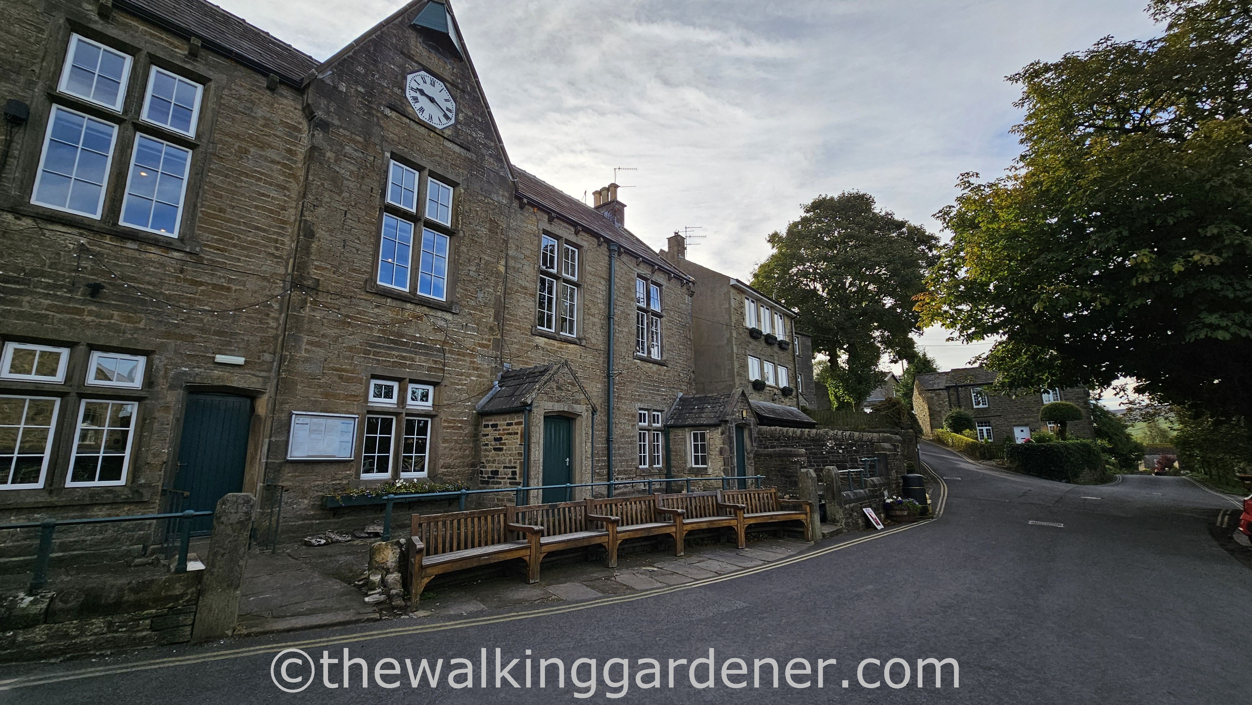
The following morning, and after an excellent, large breakfast requiring intense, uninterrupted attention, we prepared to leave Darrowby/Grassington and packed away our overnight stuff ready for collection. I had arranged for Sherpa Van to transport our two wheelie bags between overnight stops. This meant having the bags packed, zipped and delivered to reception each morning – generally by 8 or 8.30am. Now you know.
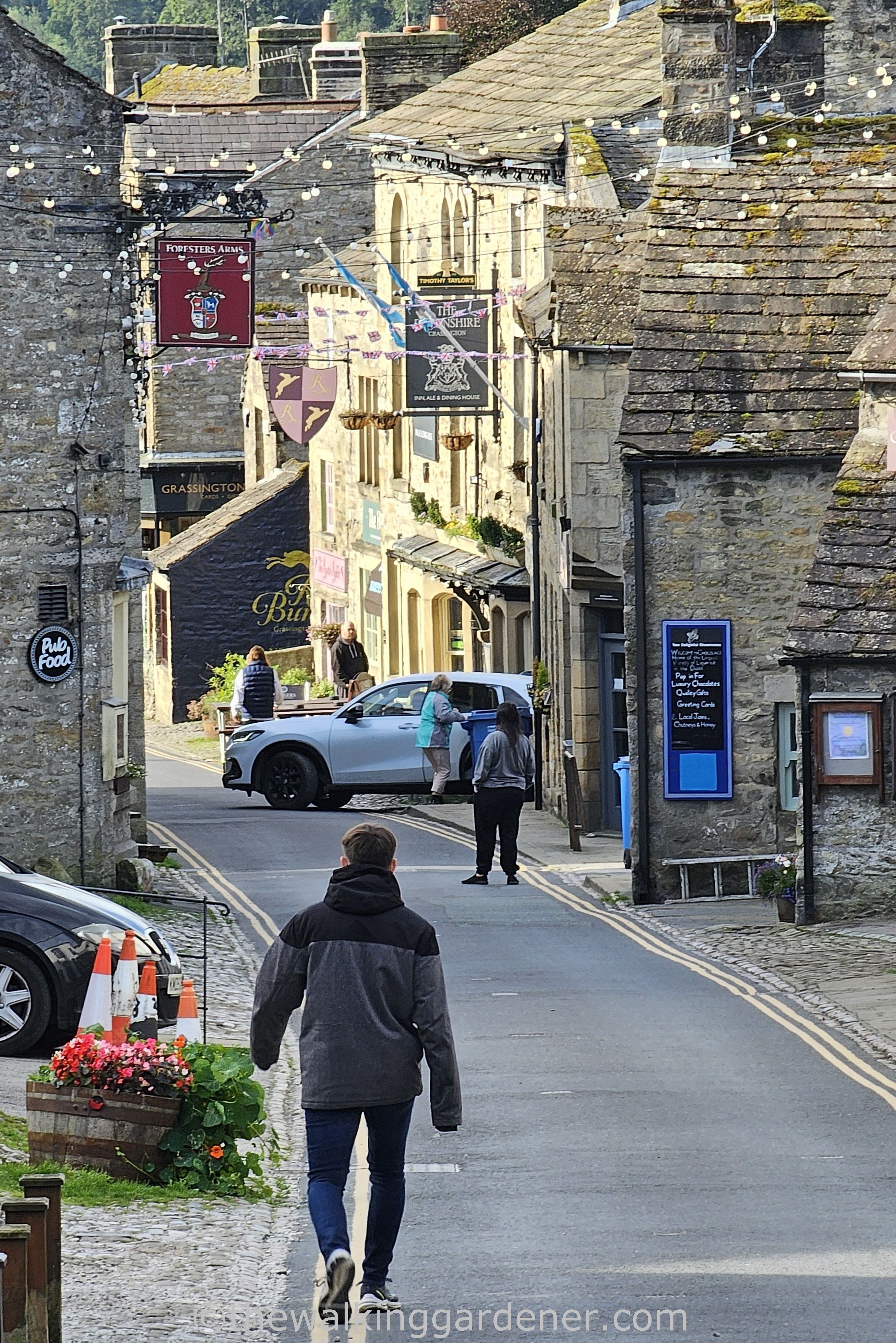
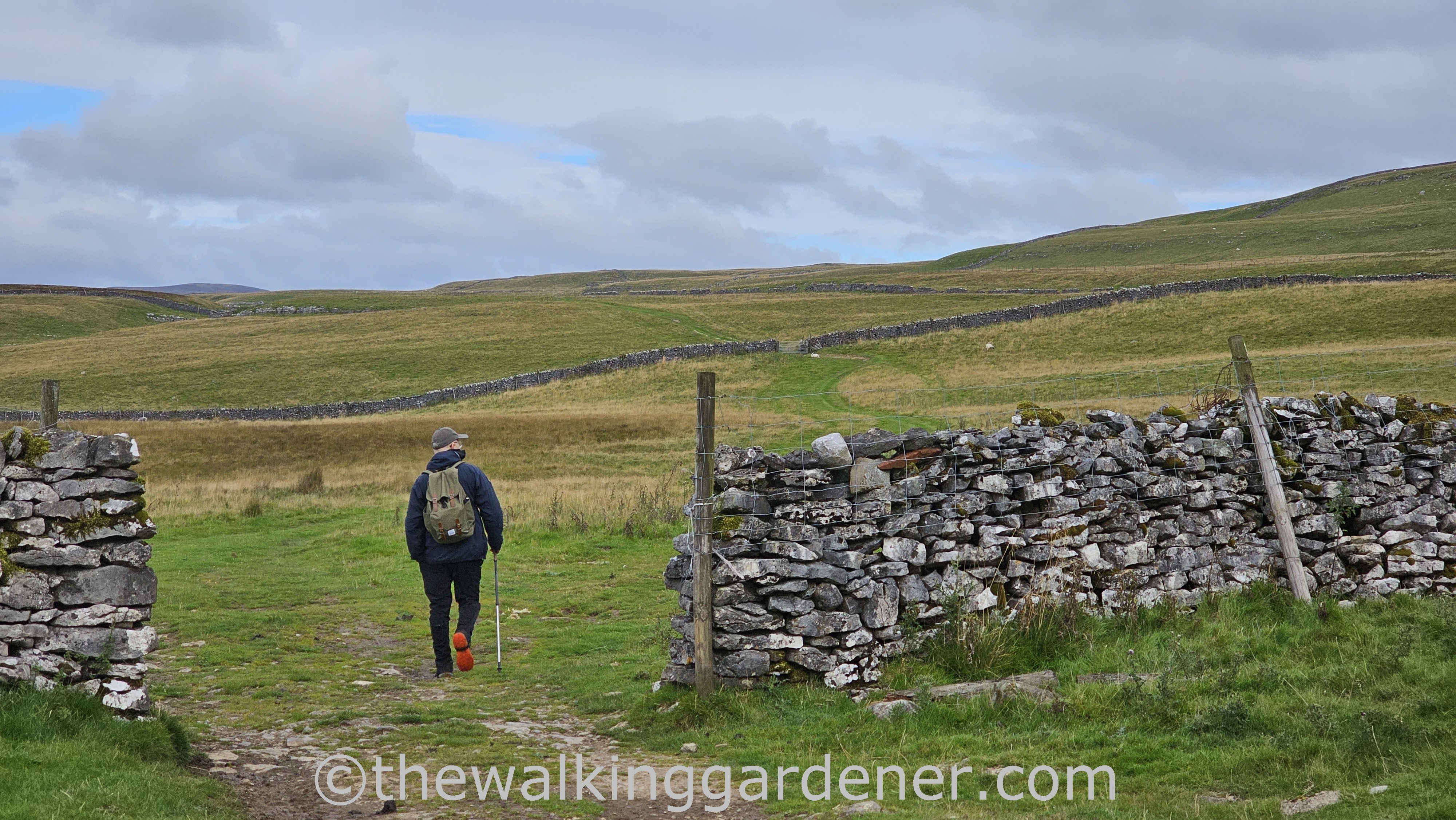
The small town was waking up and stepping out as we shouldered our daysacks, pulled on boots, said farewell to our host, left Ashfield House
and climbed away through quiet streets
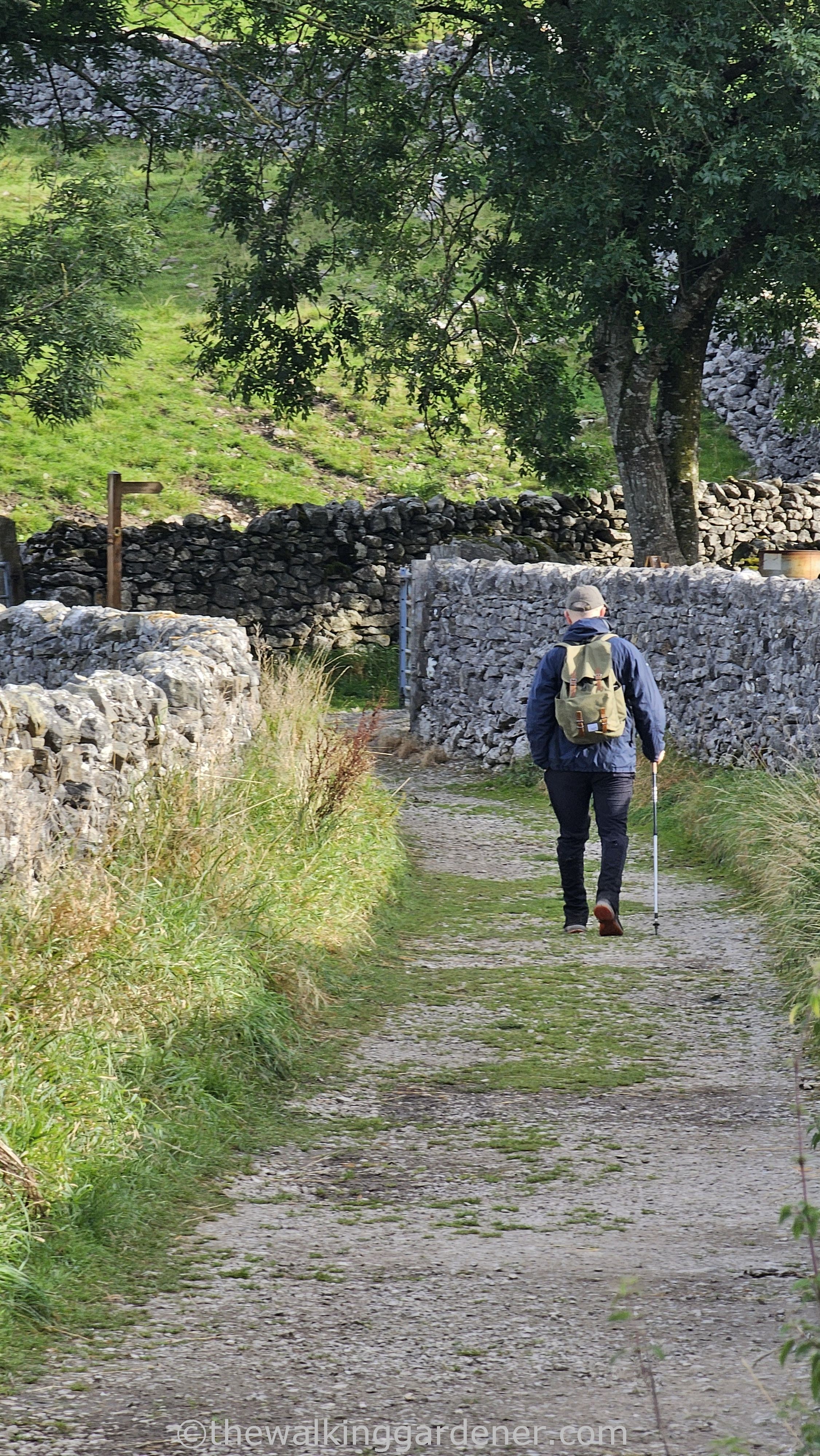
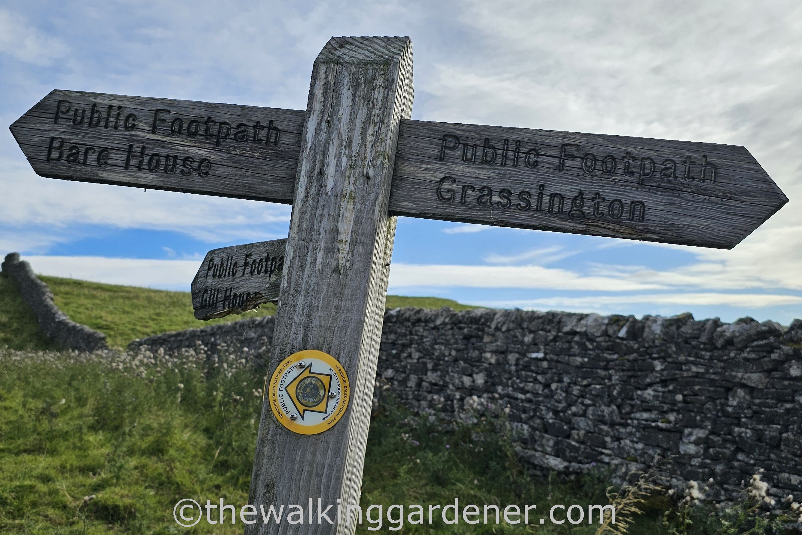
to where the ‘Way struck out from Grassington. Up ahead, the most decent, most genuine person I shall ever know was heading off on a clear path between drystone walls. I decided to follow him.
Climbing first thing with a full breakfast-belly out of a village or town was a recurrent feature of this holiday. But an early overheating and gasping for breath was (usually) worth the view
along with a steady introduction of new place names and the gradual fading away of the old.
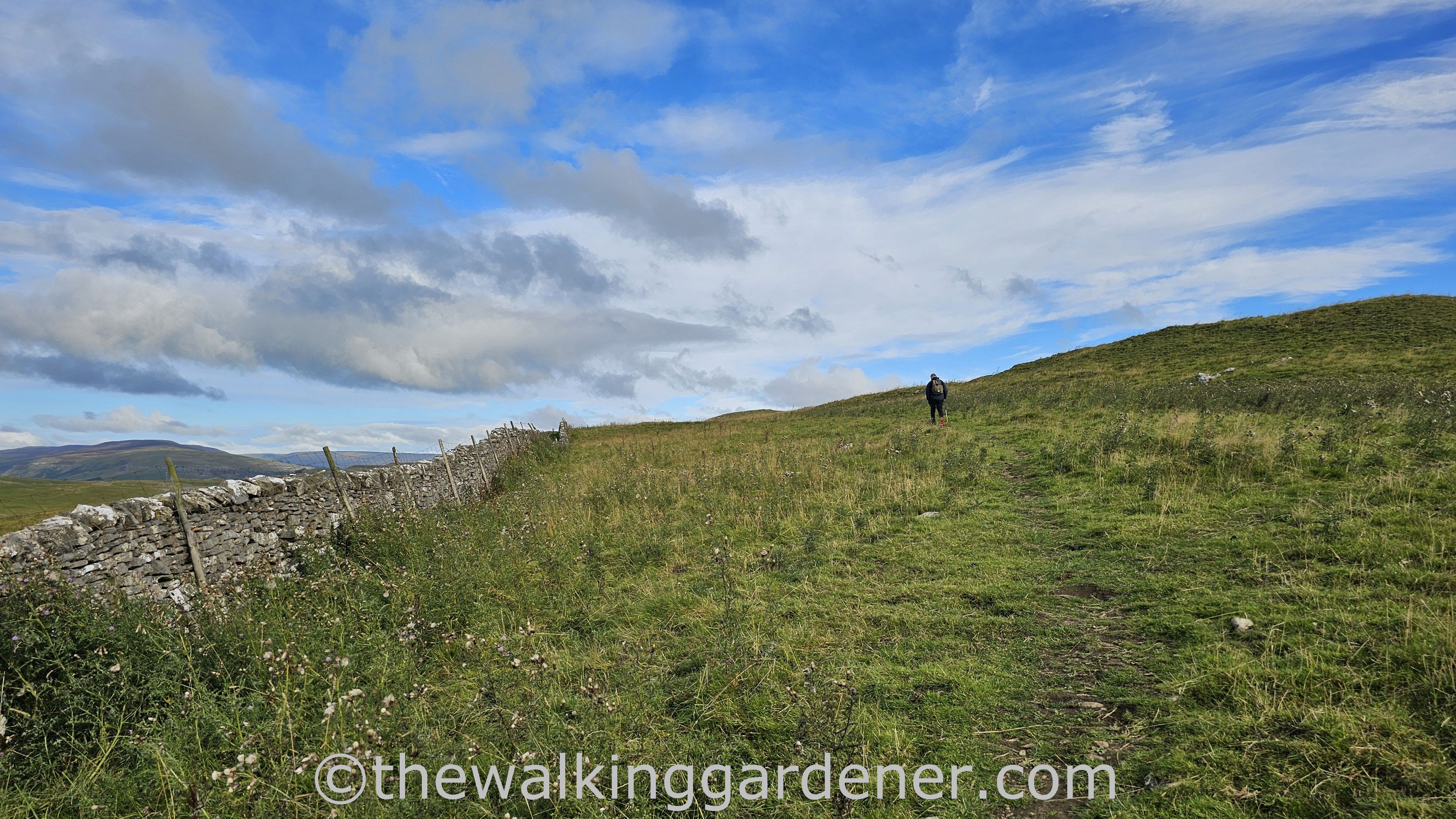
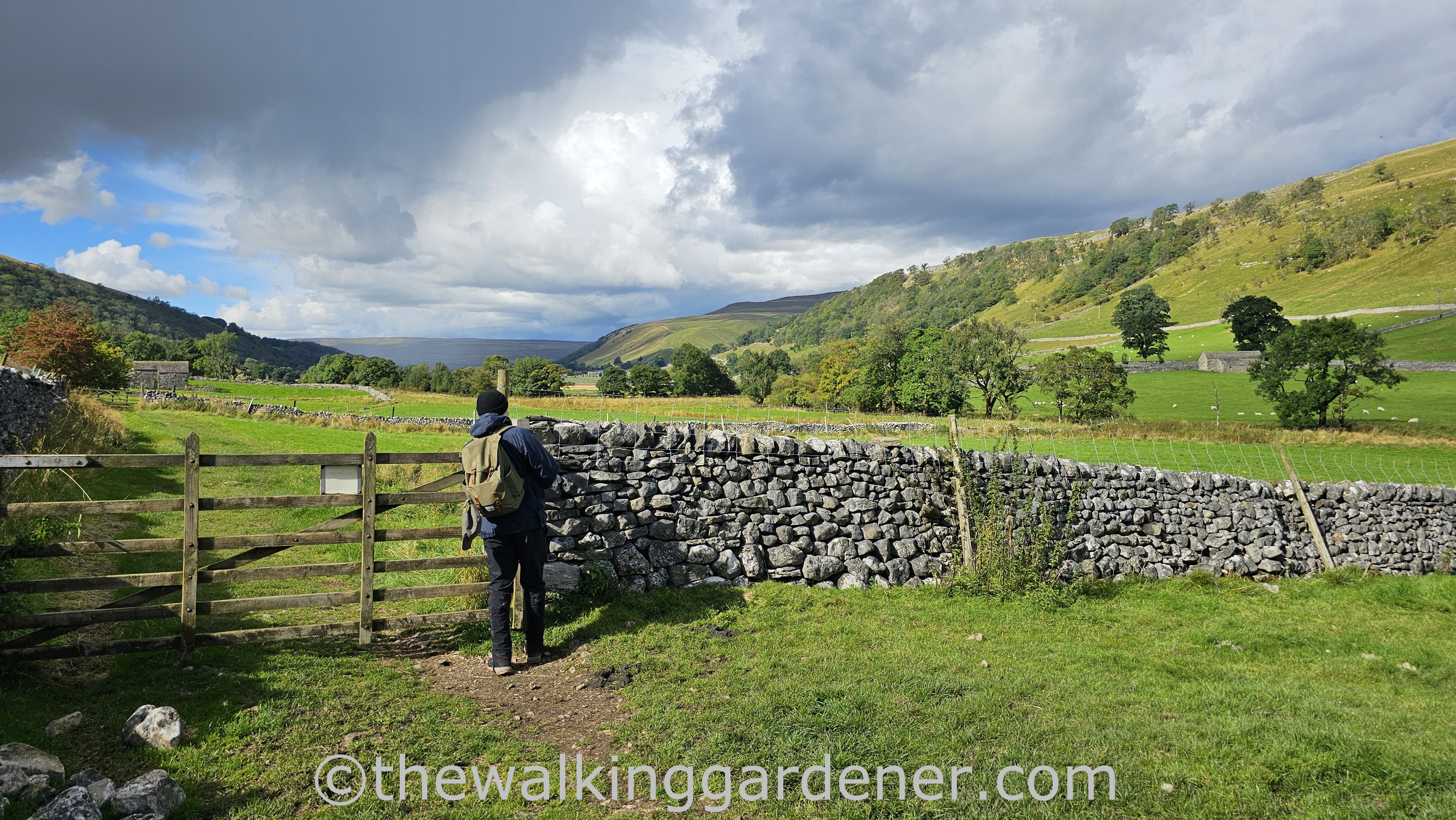
Soon, we left wall constrained path and entered wide, open Wuthering Heights fell side beneath a fresh cool rinsed sky.
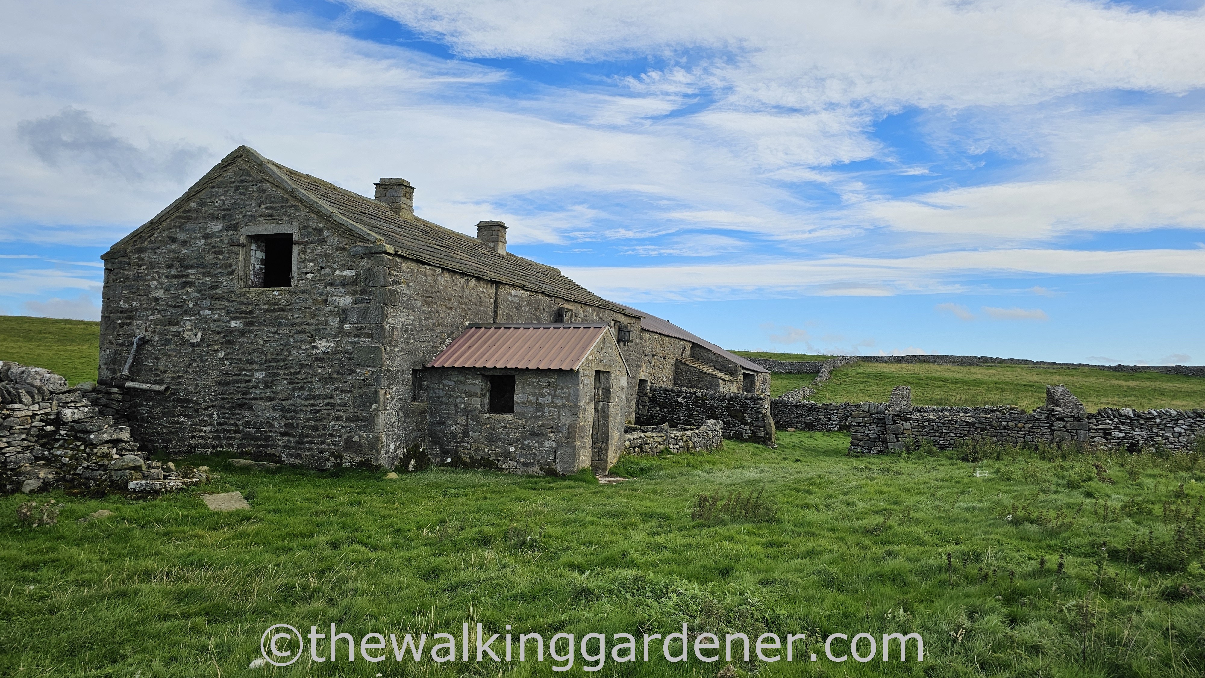
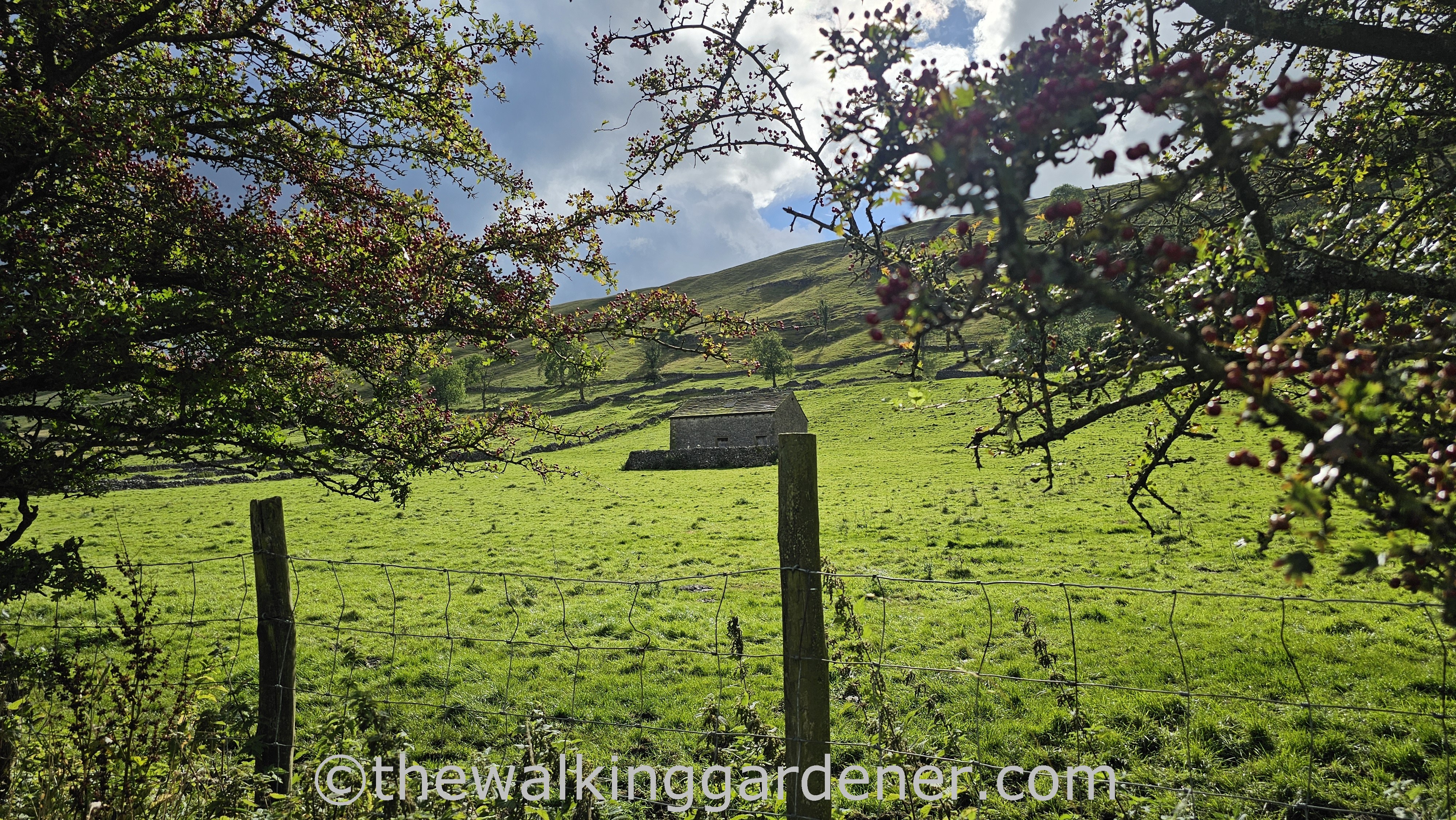
Within a mile or two we reached Bare House – a partially dilapidated farmhouse. According to the Upper Wharfedale Field Society, this was home to the Capstick family until the 1960s. The Capstick children would have walked the mile and a half to school in Grassington across the fell side we had just climbed.
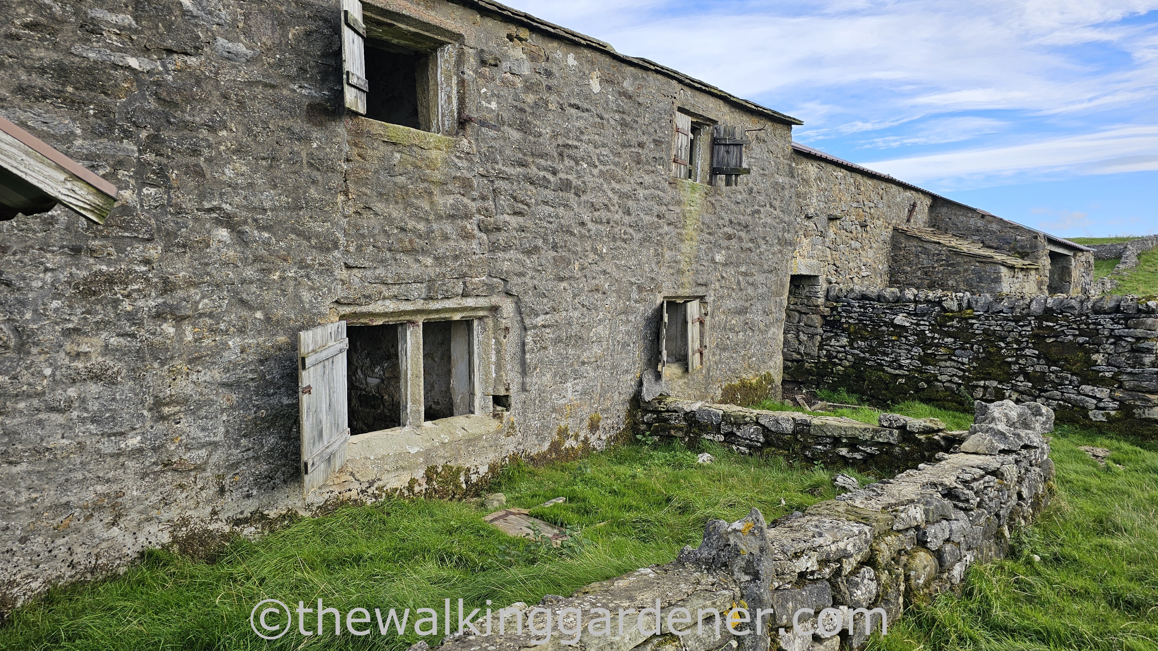
Locally, the house is known as Barras… though I’m unclear why. Thankfully, before it could crumble into further ruin, the house was patched and re-roofed by the National Park authority in 2001. Good job.
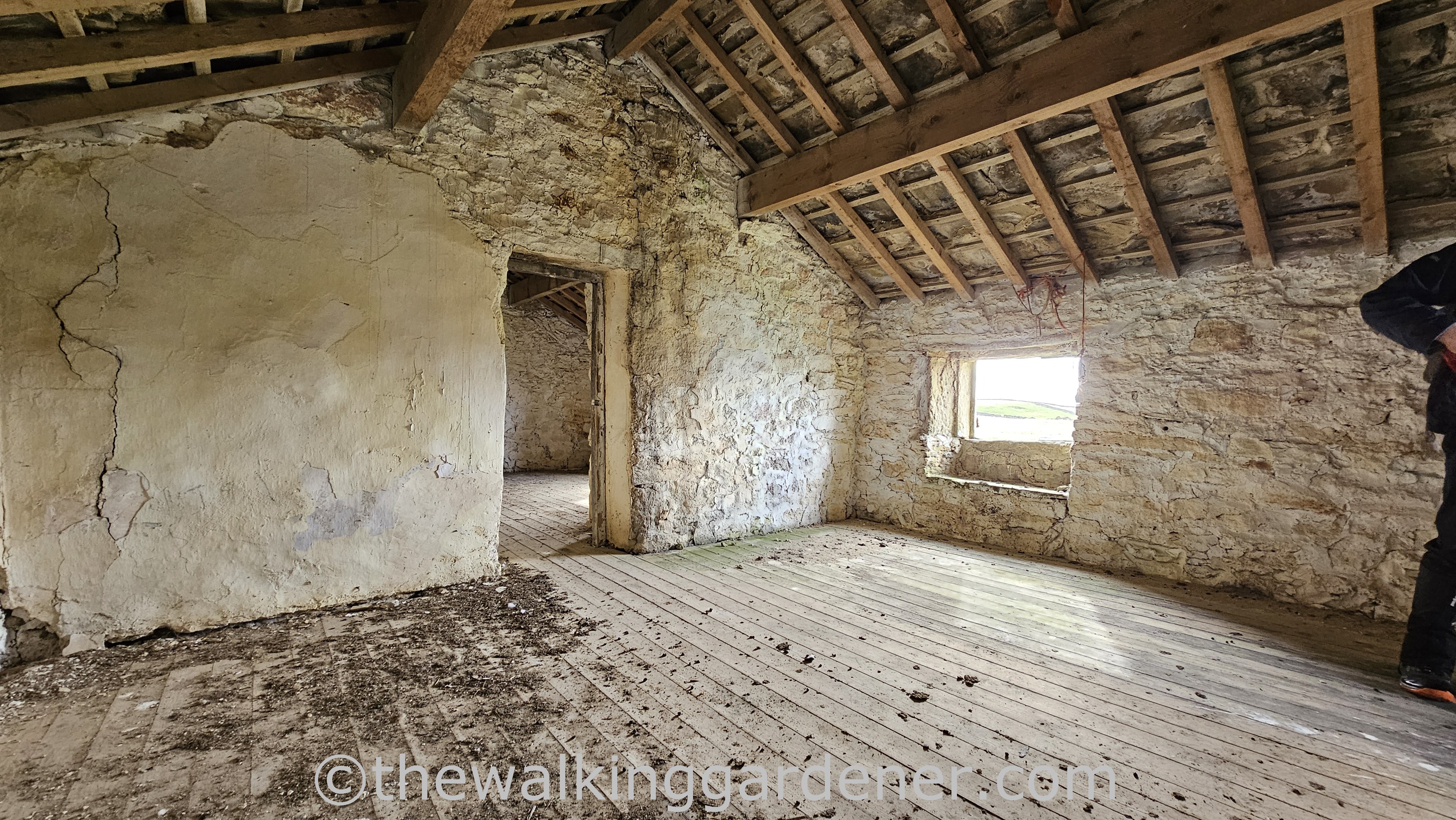
It’s a beautiful building: standing where it should – in haughty, noble isolation. I hope that one day this evocative (if possibly too spooky for me to live in) house
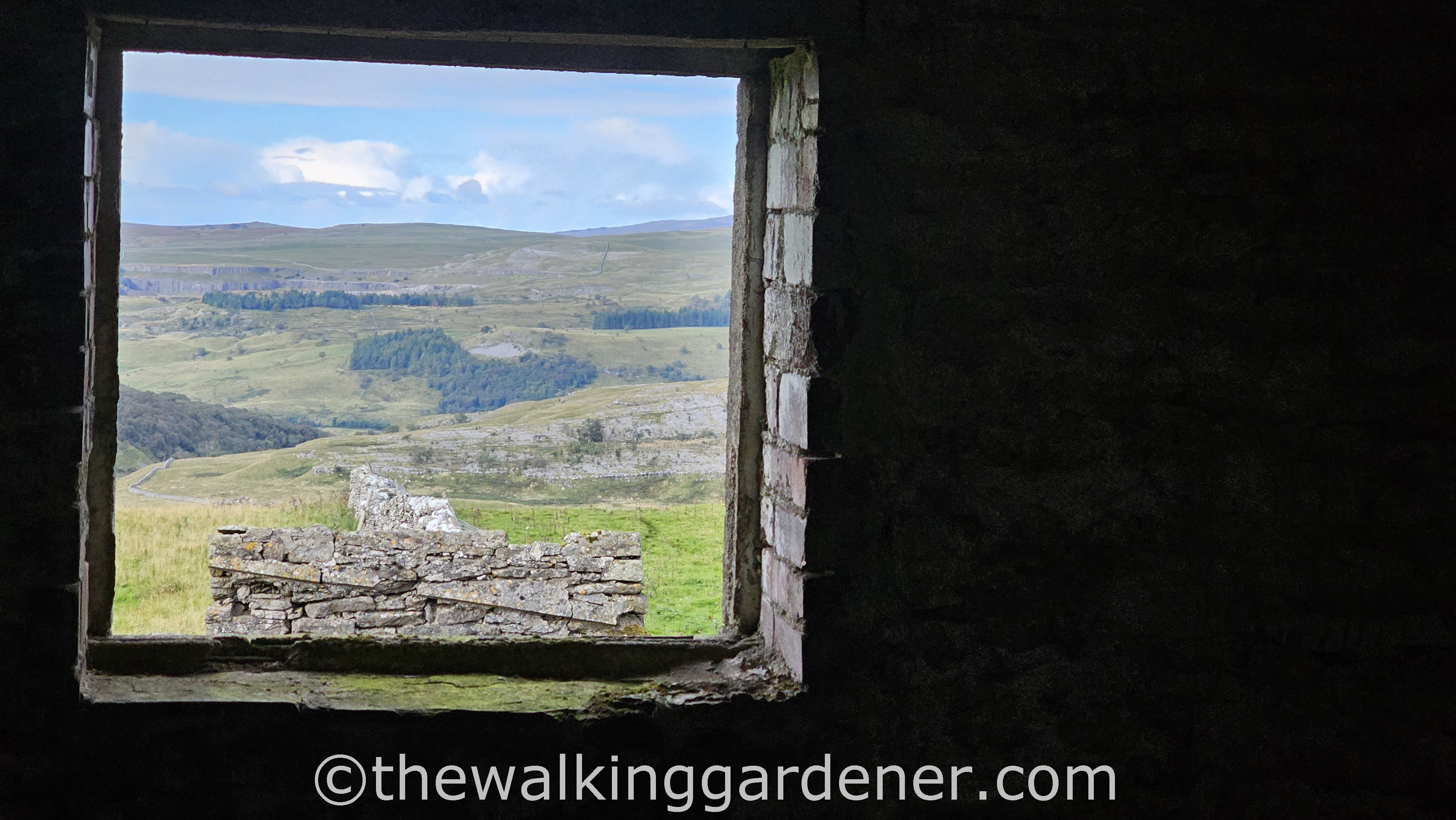
will be a home again or field centre or hostel or … just, anything. An anything with exceptional views…
and nice neighbours.
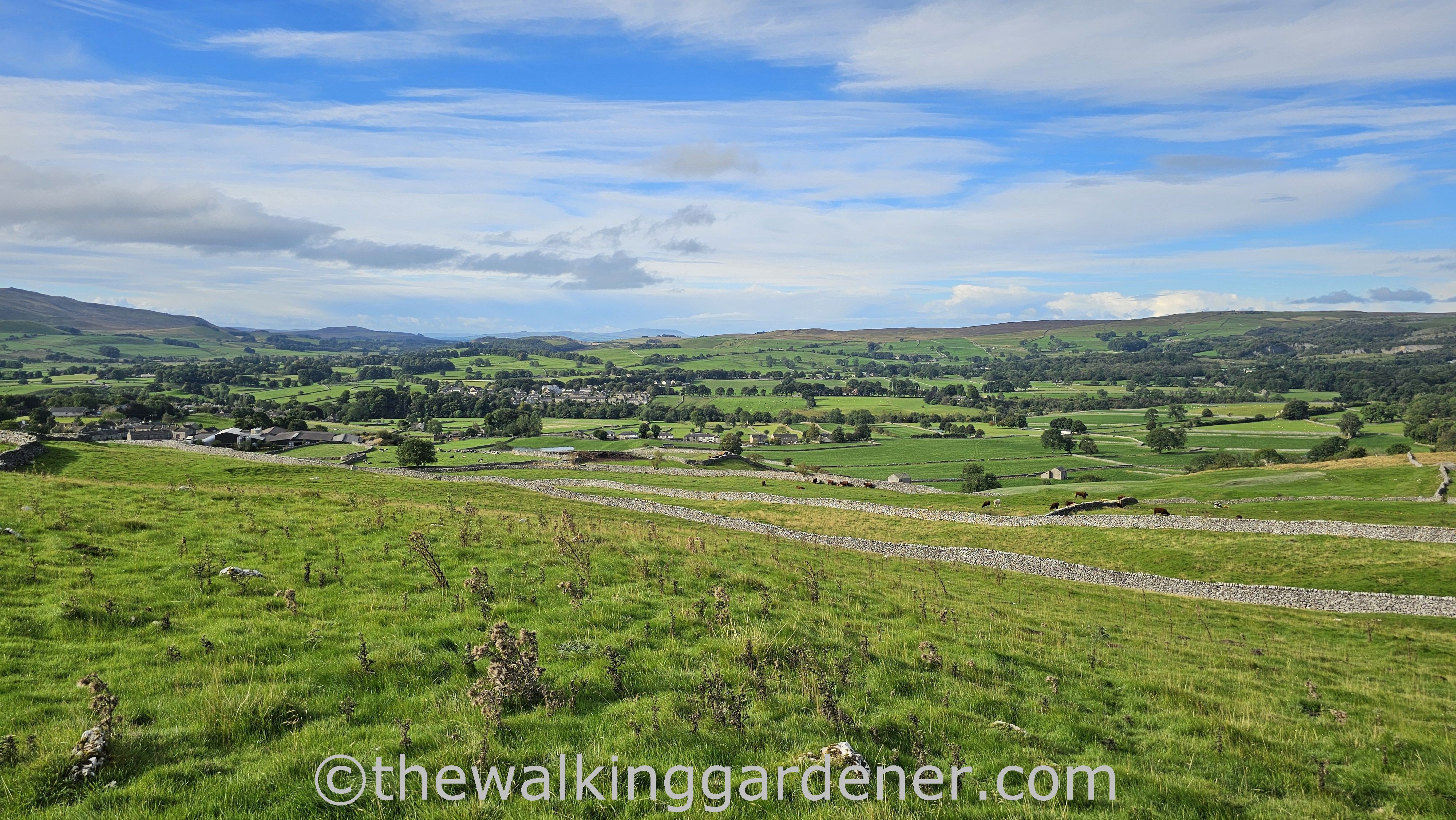
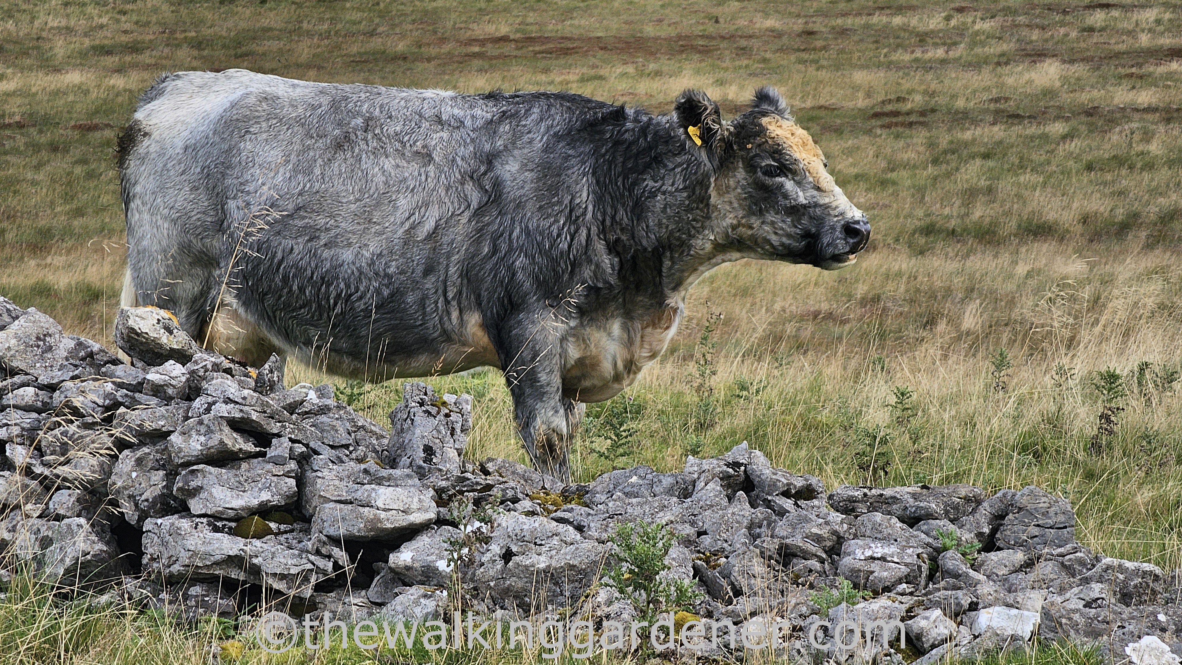
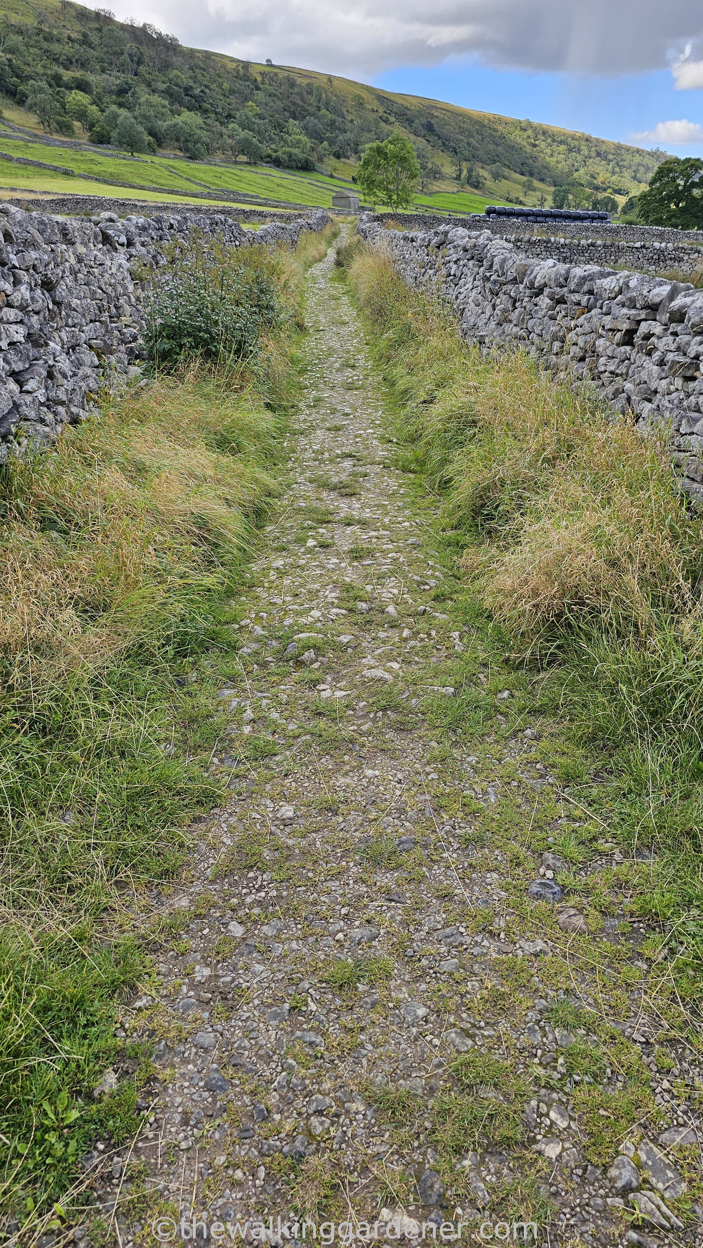
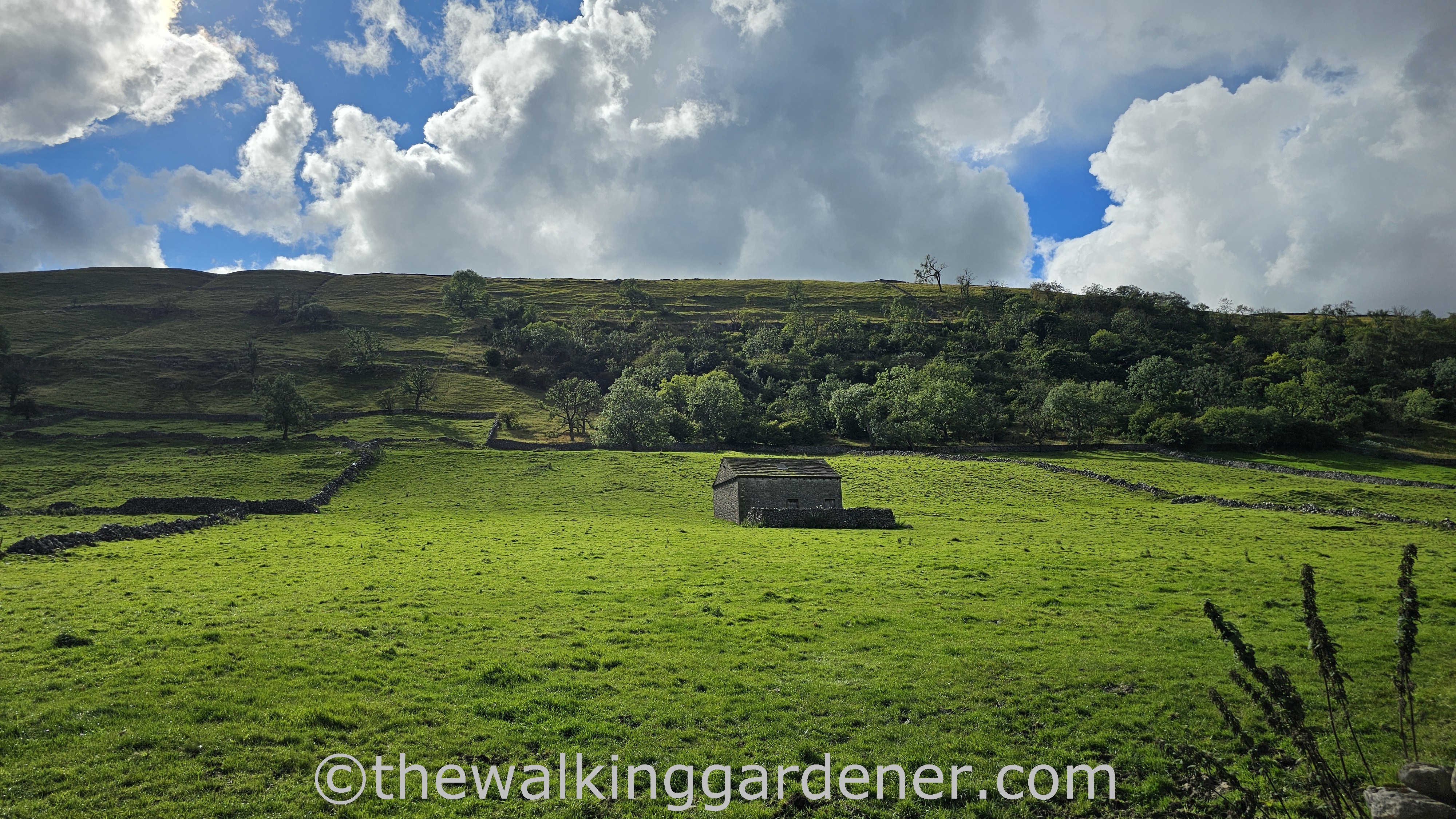
Today was fine walking and all new territory for both of us as, unlike yesterday afternoon, we were no longer following the line of the Dales Way.
The DW lay way off and down to our left with the Wharfe beyond that, but it felt like we had the better option: up on high in a wide world. I appreciated my brain being swept of the mundanity of modern life and concerned instead with route finding, sky gazing and prospects for lunch.
But I can’t have been concentrating too much on route finding for, as we chatted away, we suddenly realised we’d missed a turn and…
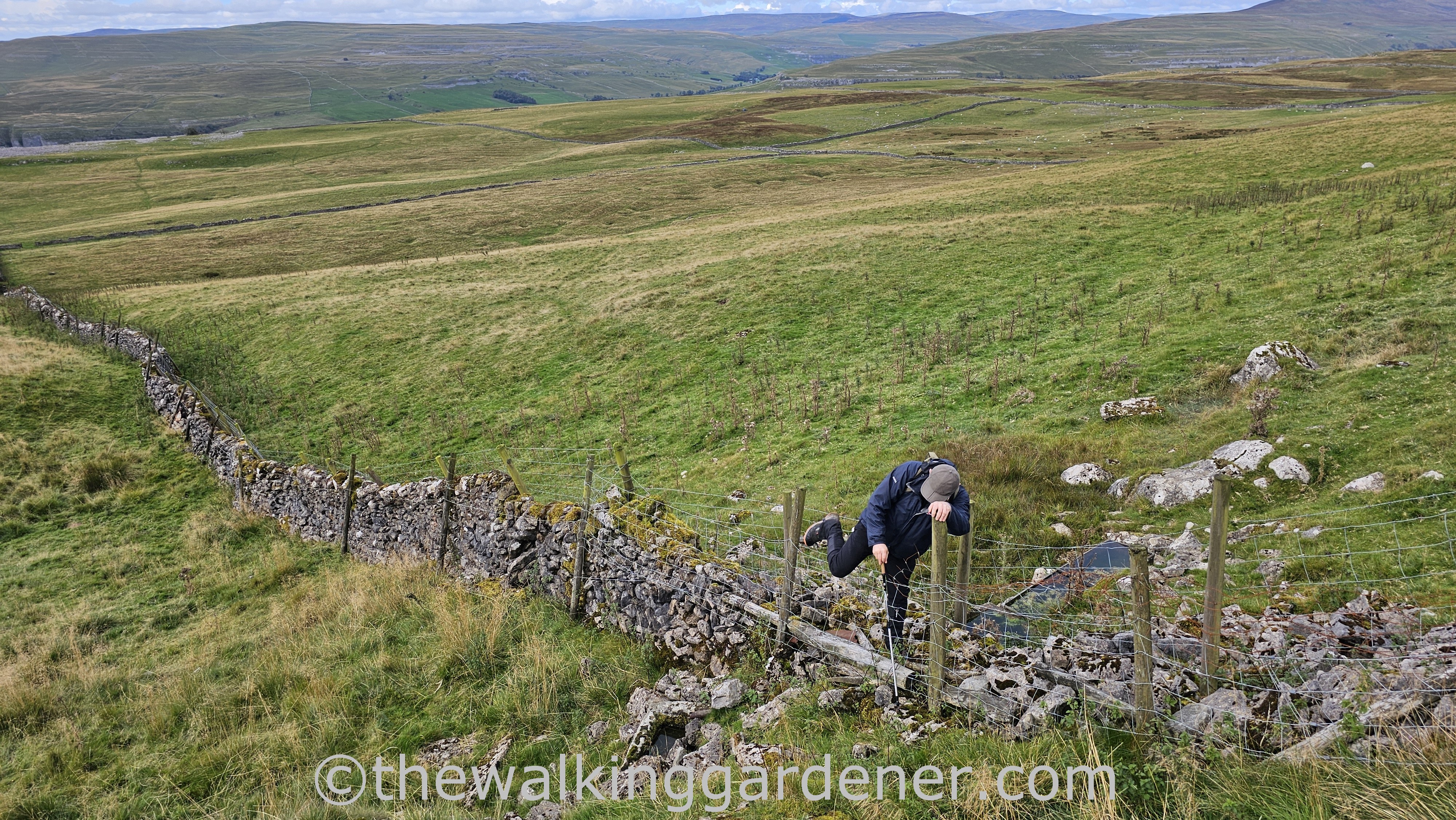
had to struggle up steep fenced and walled slopes to regain the path.
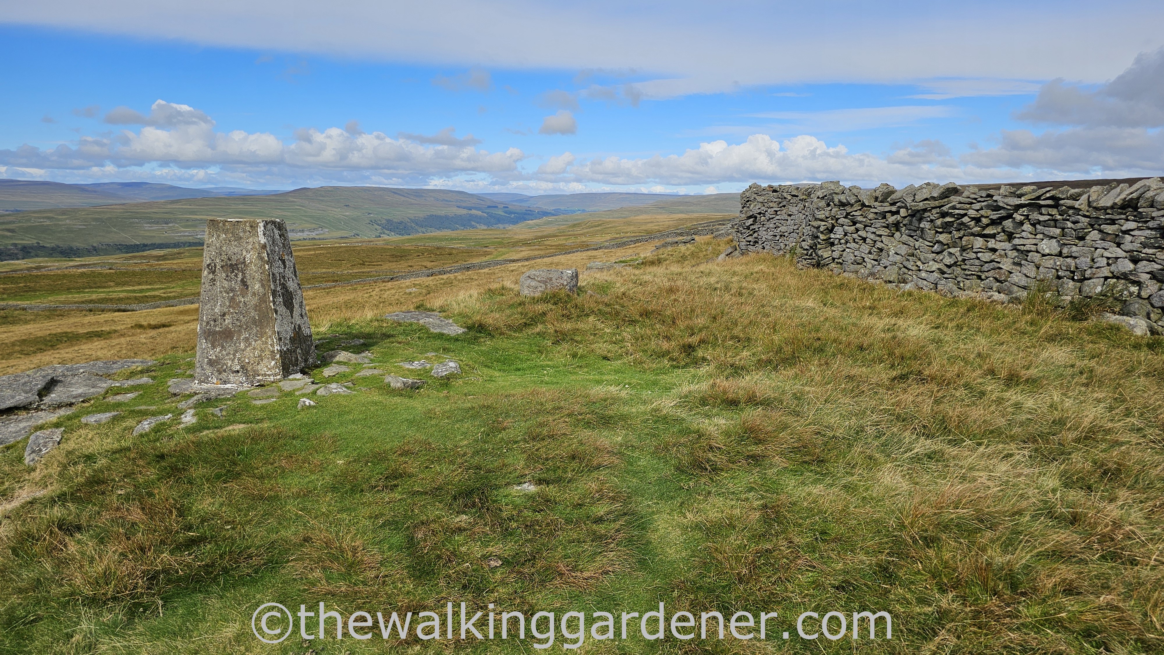
Our climb led us back to the Lady Anne’s Way at Capplestone Gate,
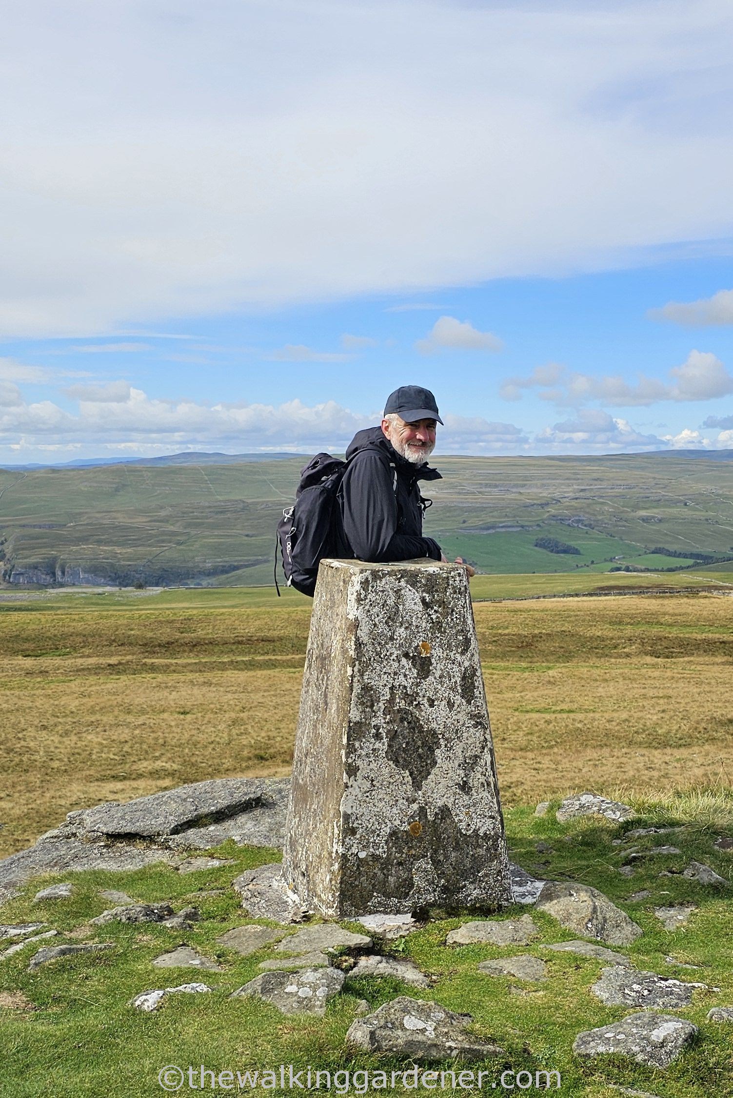
and a handy trig point to rest against whilst appearing to enjoy the far off views – but in reality an excuse to pull in cold, clean air and still my yammering heart.
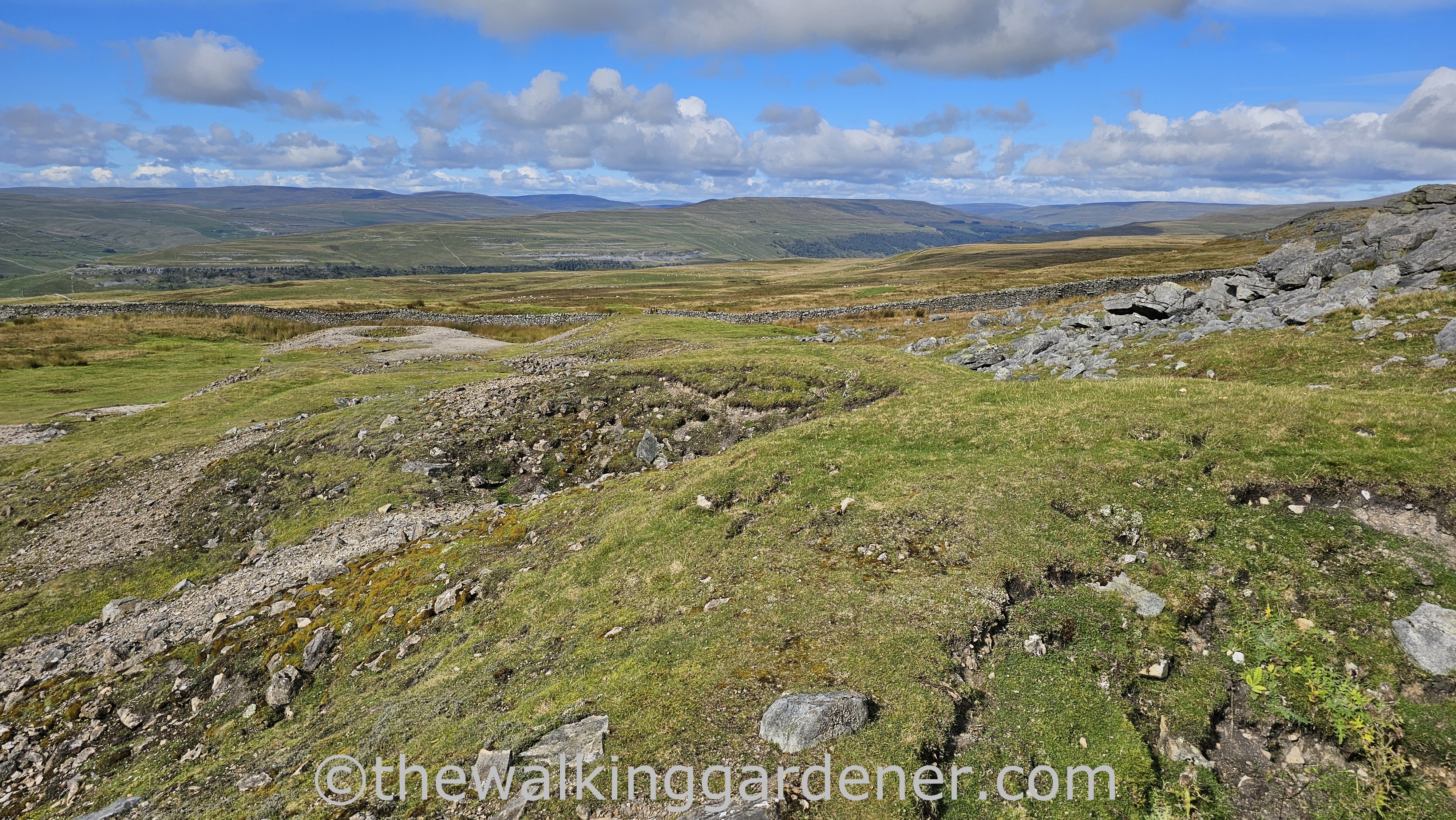
From Capplestone the path descends through old mine workings of spoil heap and shaft. Watch where you’re going here – especially in mist or low cloud, obvs.
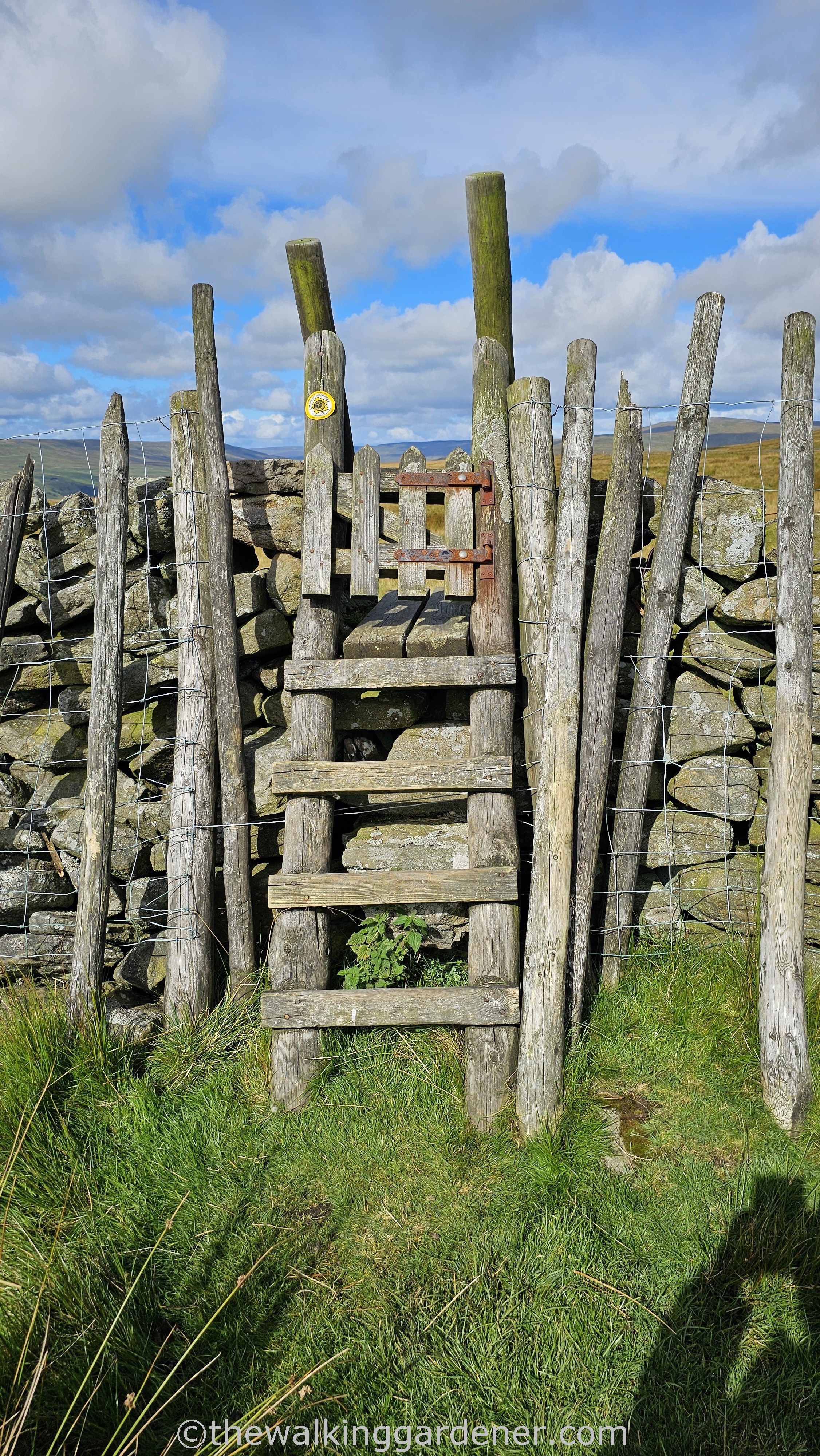
Pulling ourselves up and over tall stiles,
We descended quite sharply until we were once more trammelled by walls
if with fine views all about.
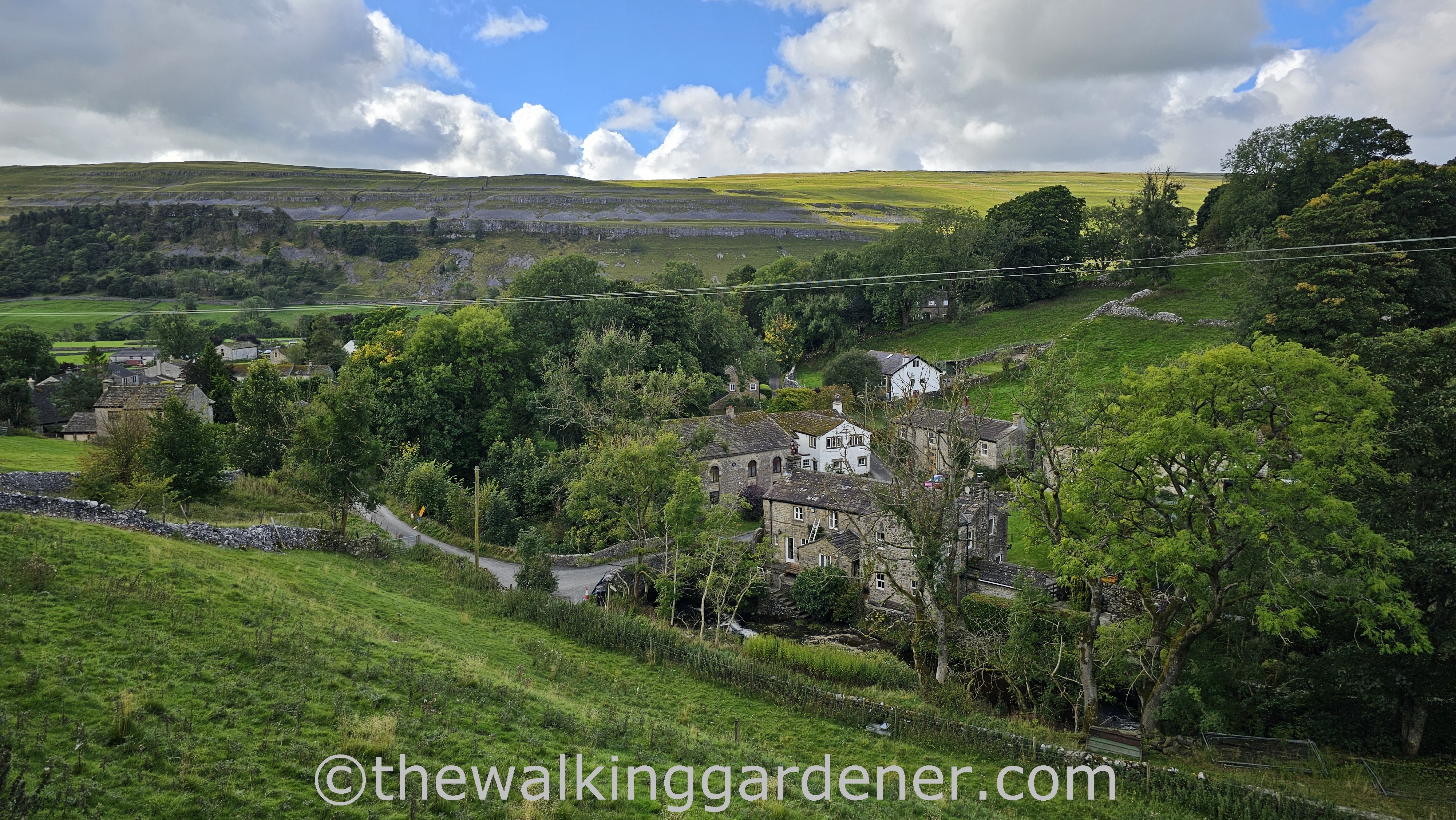
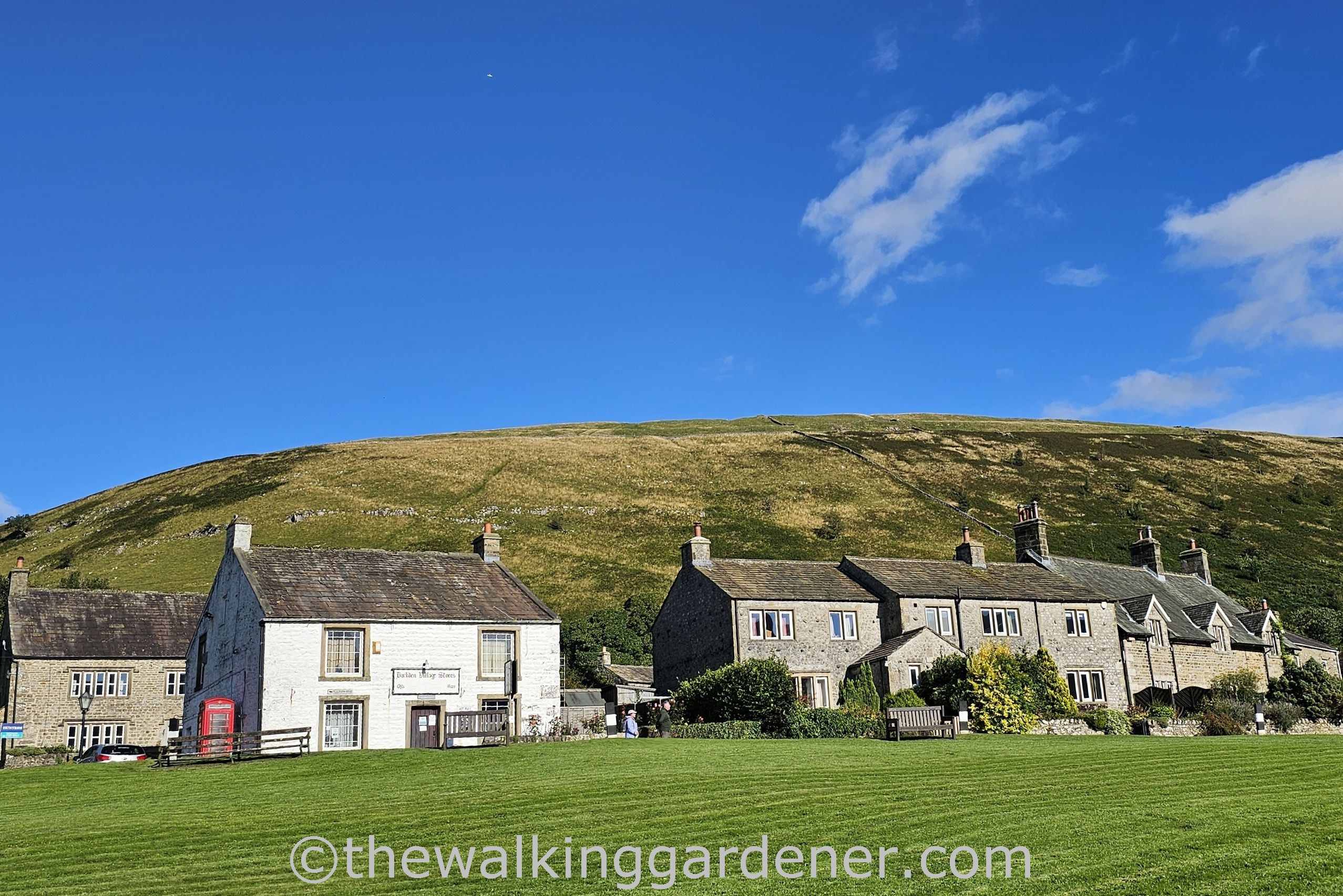
Some three and a half hours after leaving Grassington
we arrived in the village of Kettlewell. I have fond memories of this place from my last visit in February 2012.
I had walked the Dales Way across a burnished and brittle landscape from Grassington and needed, really needed, food and drink. I got both in the Racehorses Hotel, where Jim and I now headed.
The village is mentioned in the 1086 Domesday Book, the name deriving from the Anglo Saxon Chetelewelle meaning bubbling brook/spring in a deep valley. (As far as I know, this ball is still spinning in the stream running down to the Wharfe.)
After a great beef and horseradish sandwich, the final leg – of about 4 miles – lay alongside the Wharfe again.
After over 23 miles since setting out from Skipton the previous morning, we were both in good shape. A little achy perhaps but no blisters or pulled muscles.
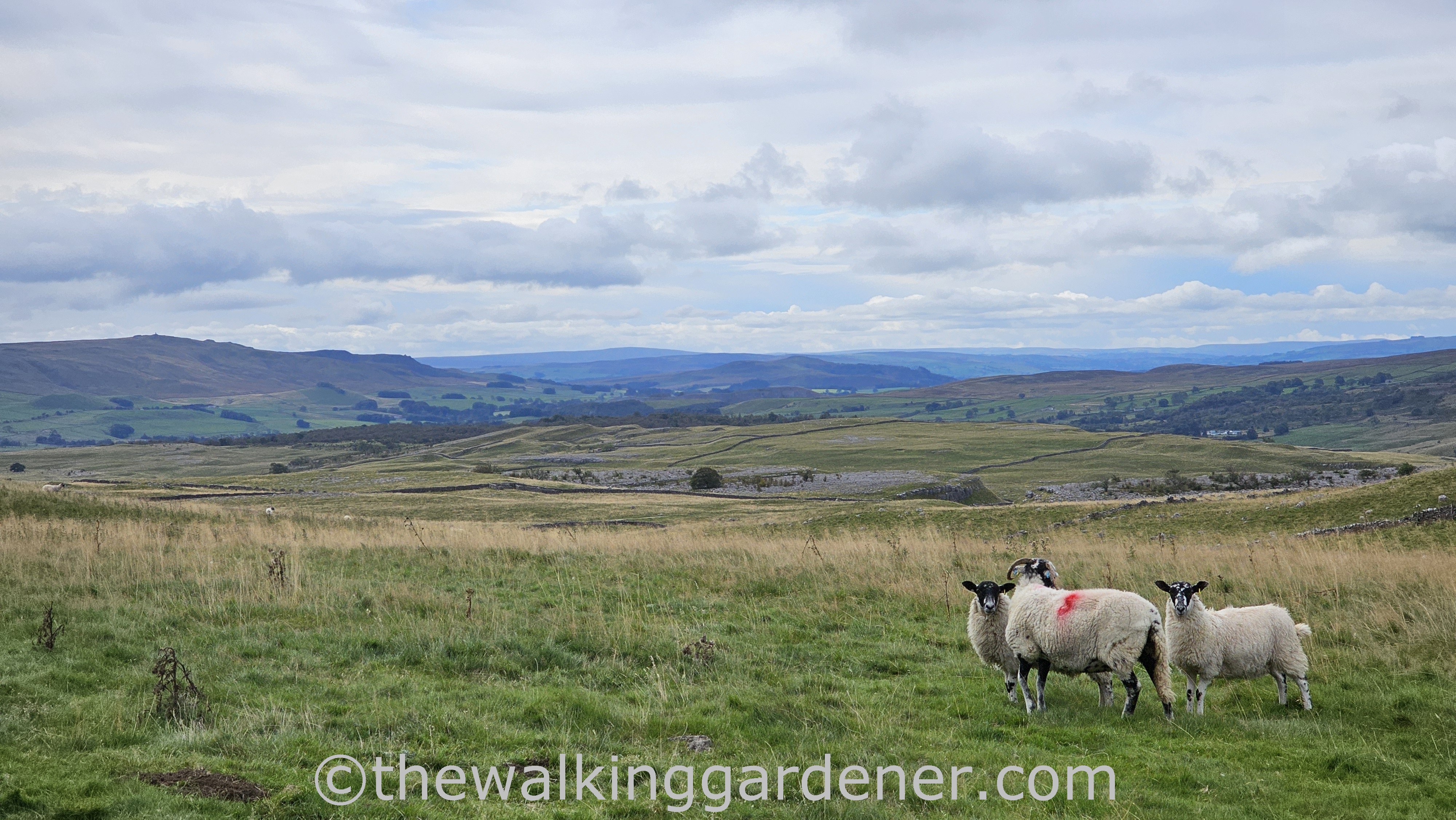
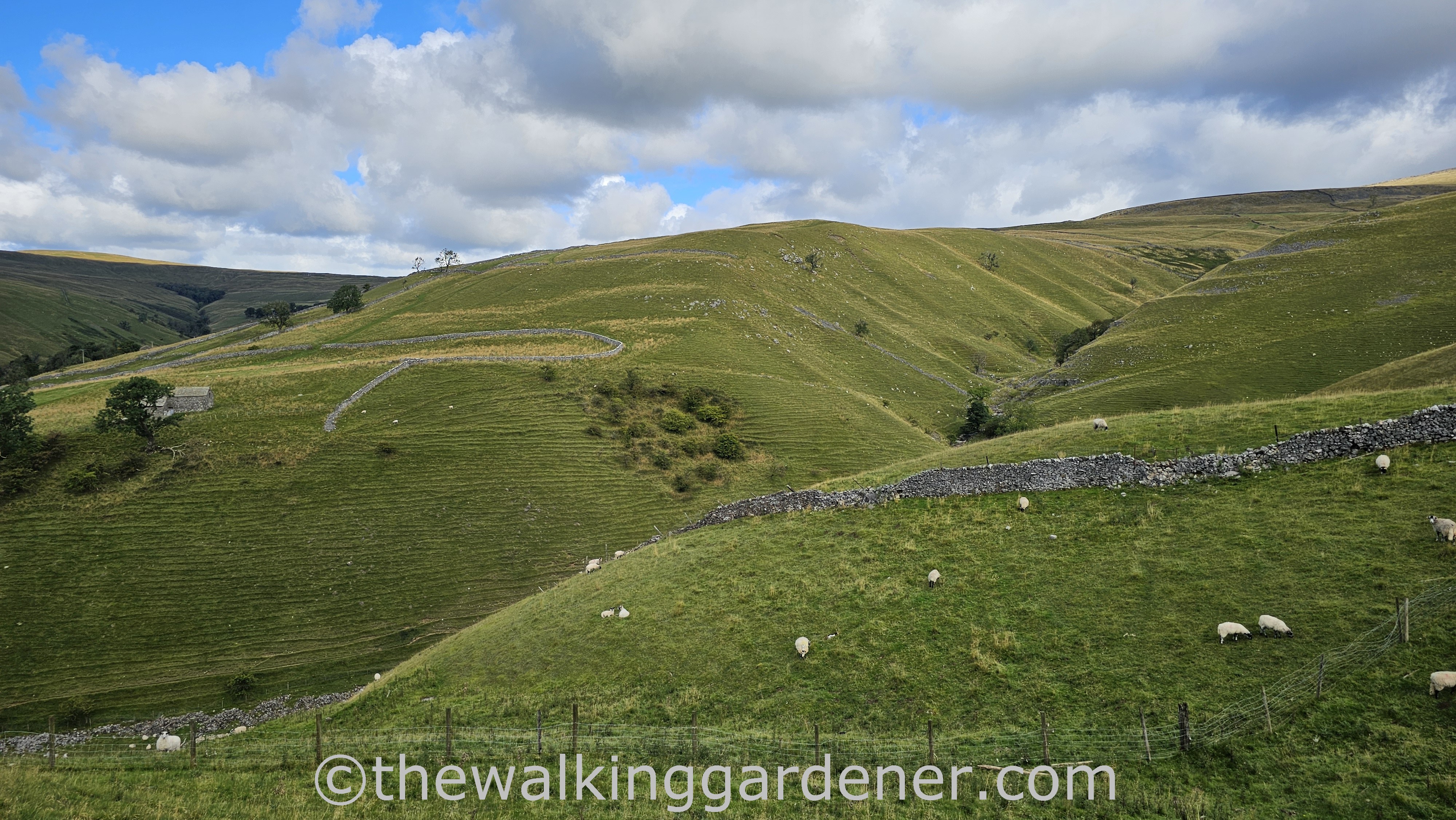
Though the going was pretty easy and upper Wharfedale
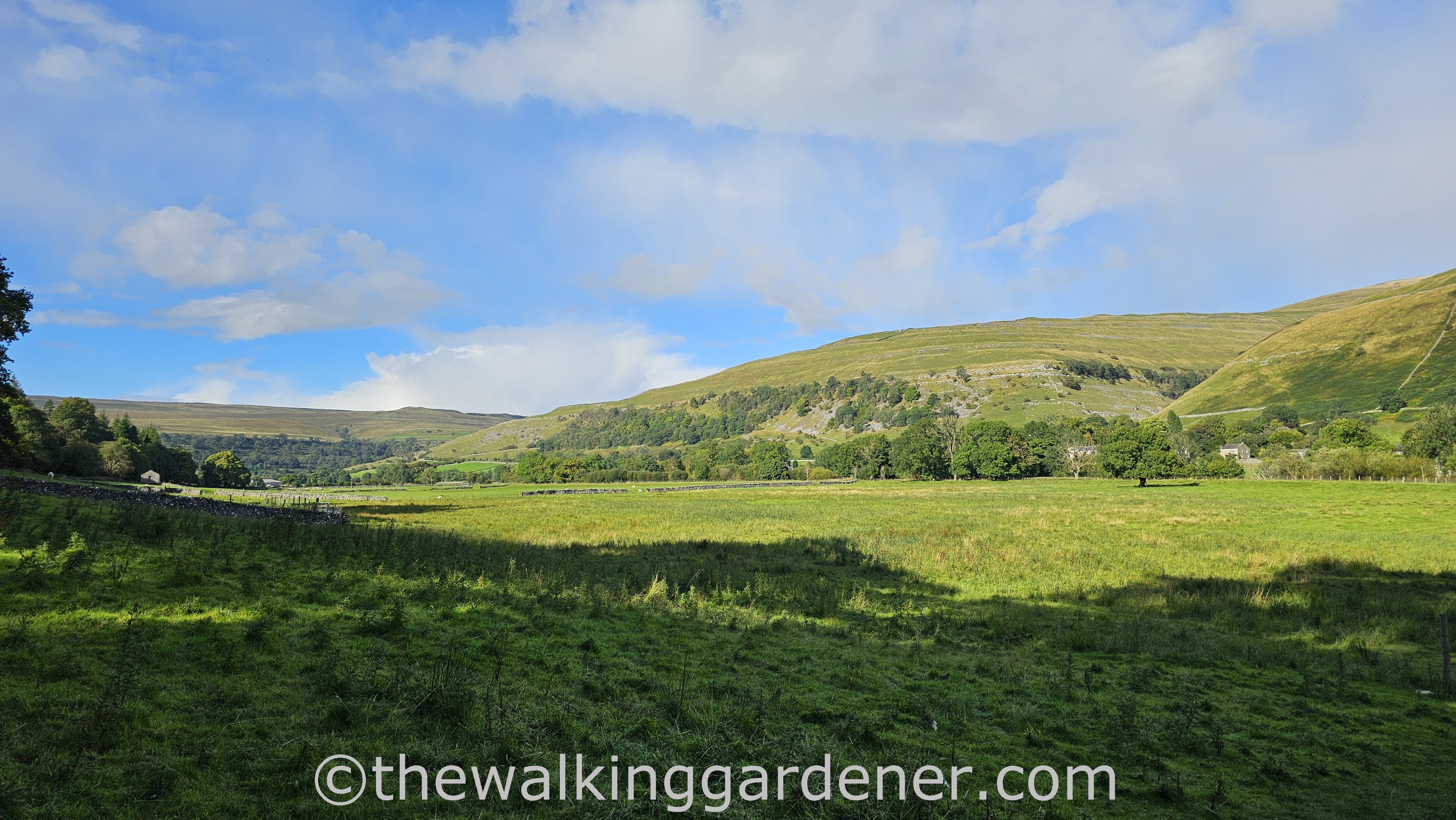
very beautiful and almost empty of other walkers (at least after we’d pulled away from Kettlewell), we were keen to reach day’s end.
In 2012, I’d hoped to stay at the Buck Inn, Buckden. Sadly it had been temporarily closed and I had to push on to Cray another couple of miles along a road.
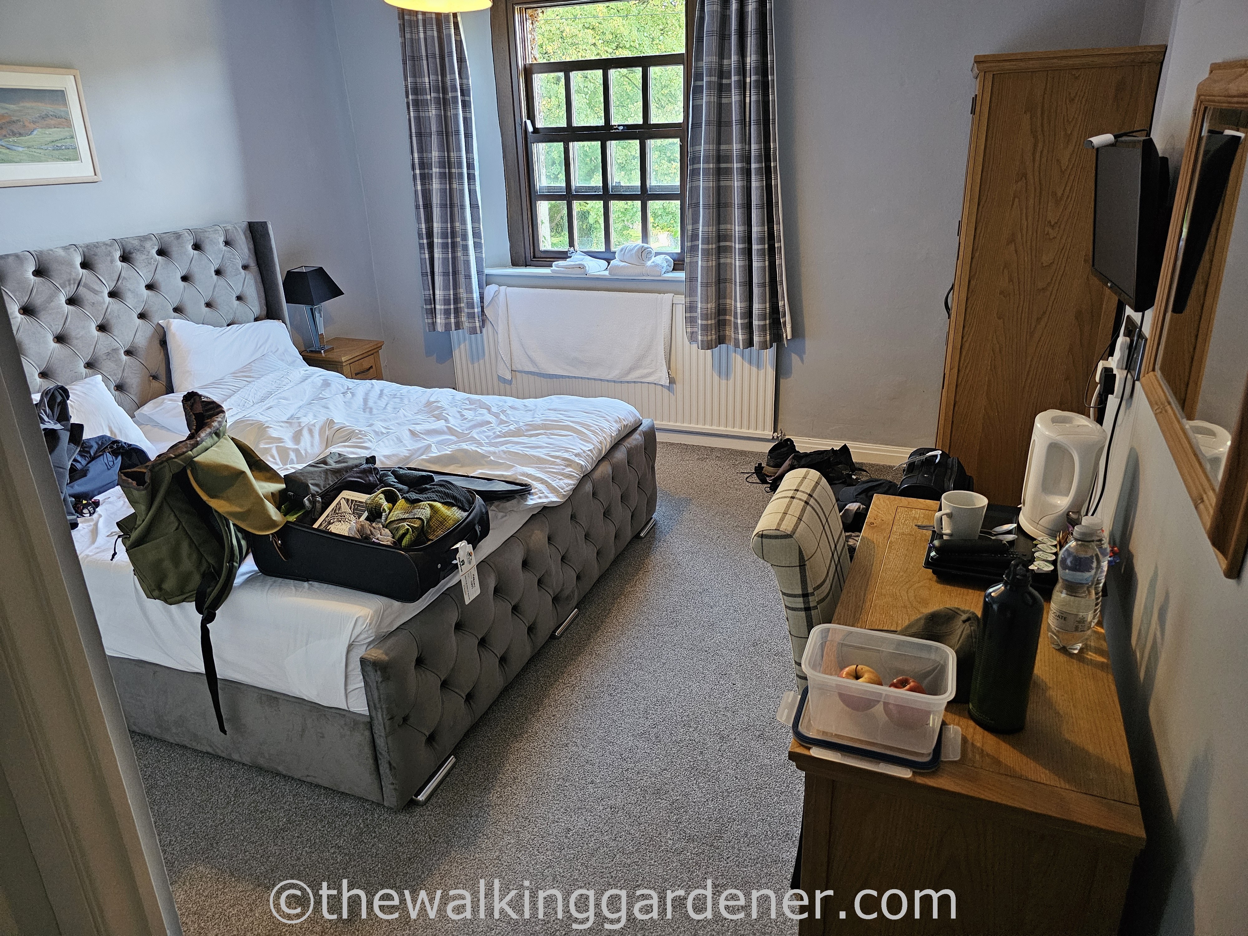
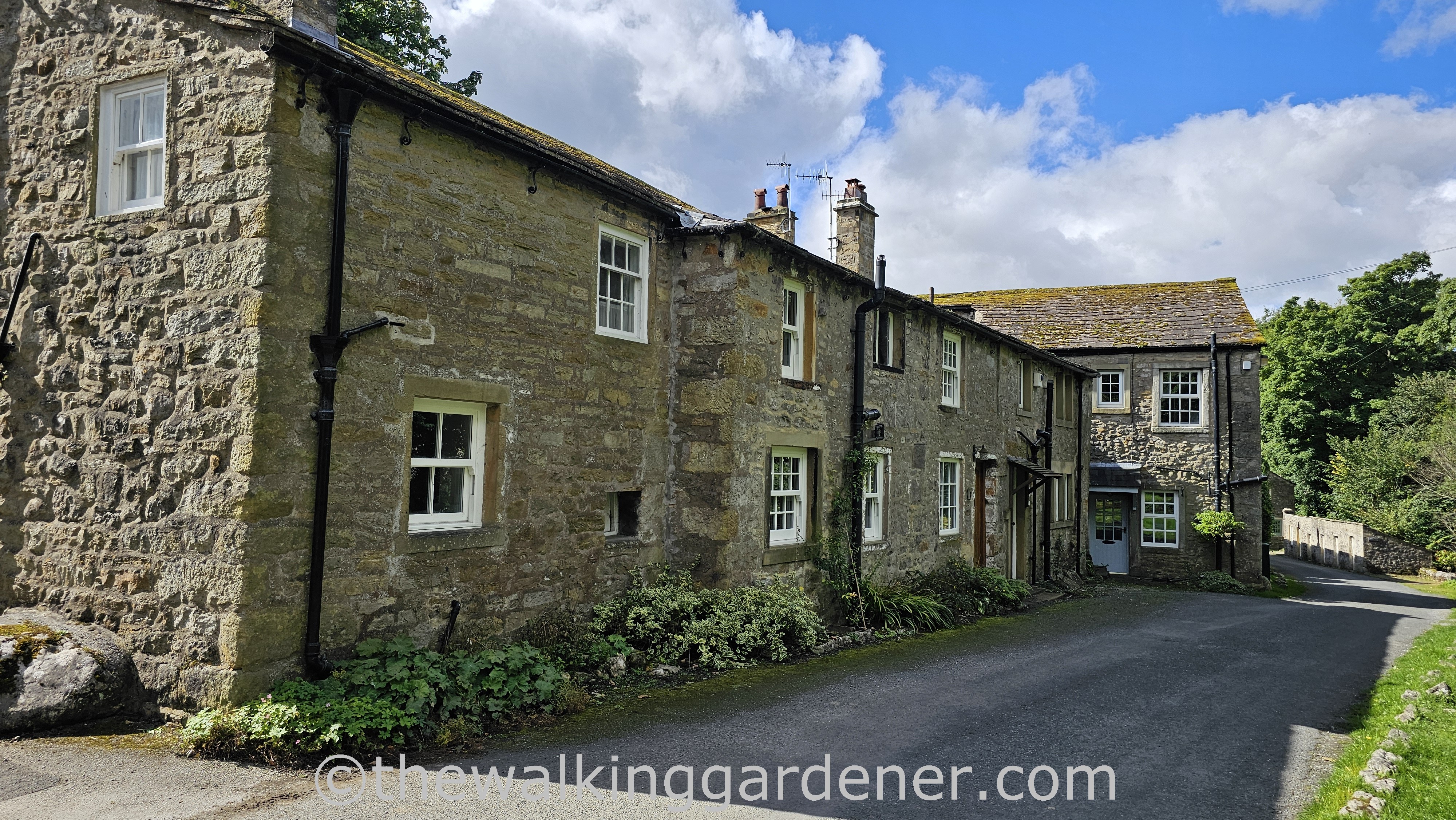
Not so today. Our room in the Buck Inn was comfortable, the staff welcoming, our wheelie bags waiting.
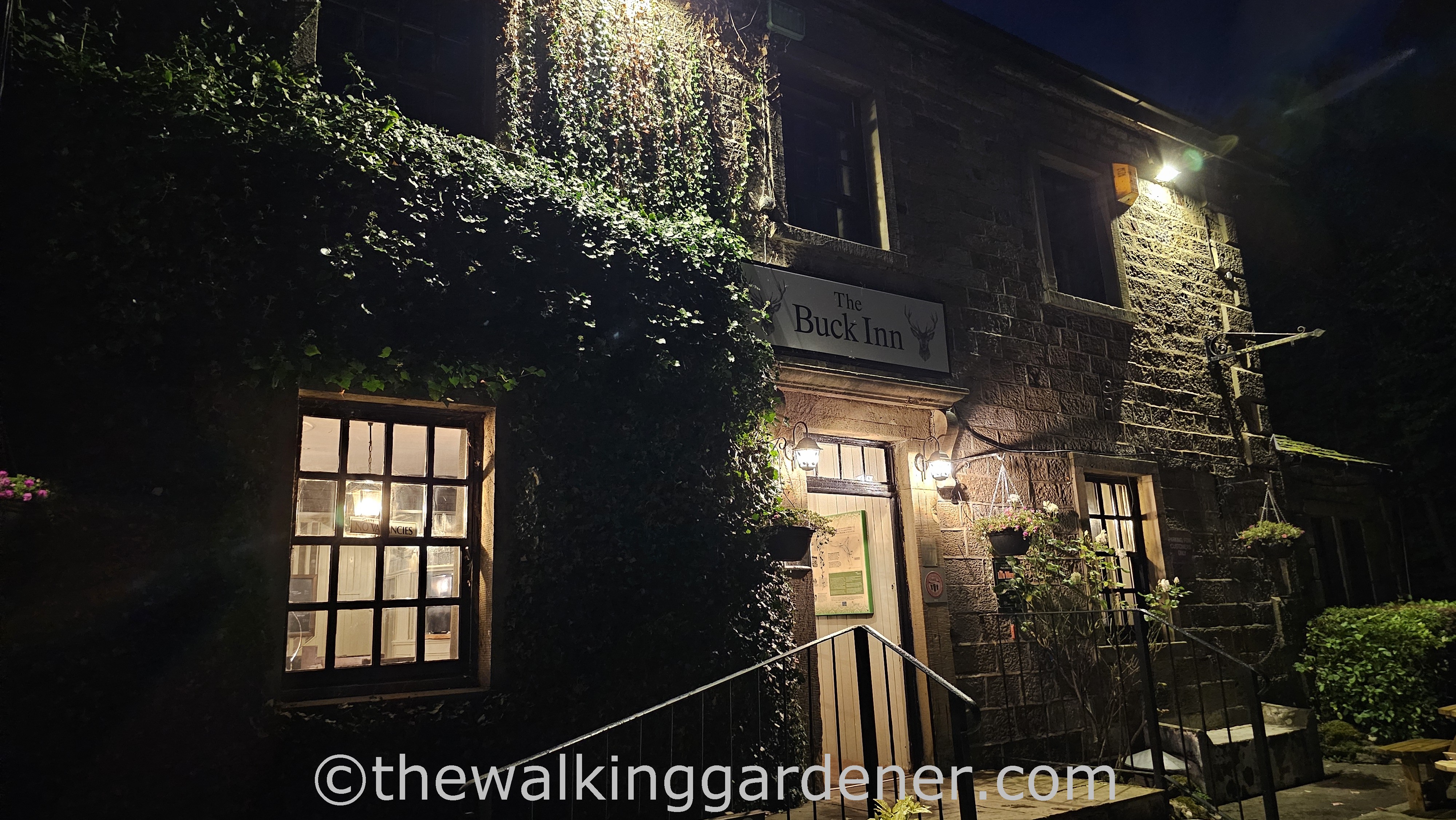
The Buck was a grand night’s stop – right on the path; the steak and ale pie excellent, the beer improving the more I drank.
Tomorrow, Day 3, we’d reach Hawes and the half way point on the Lady Anne’s Way and our hike to Penrith.

The countryside looks like something out of a storybook—one of those British ones. Oh, wait…
Lovely write-up and photos as always, Dave, especially the description of your walking partner. xoS
LikeLiked by 1 person
Thanks, Constant Reader. I’m glad you’re here x
LikeLiked by 1 person